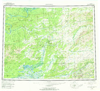
1956 Map of Livengood
USGS Topo · Published 1973About this map
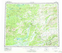
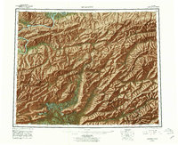
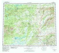
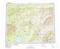
The Yukon River winds through the northwestern corner of this territory, where remote cabins and a Radio Tower mark the frontier landscape of the mid-1950s. The region is defined by its transition from the massive White Mountains and peaks like Mt Schwatka to the low-lying wetlands of the Tatalina River and Tolovana River valleys. The gold-mining heritage of the Fairbanks district is visible in the southeastern quadrant, where small settlements like Golden City, Meehan, and Cleary cluster near the headwaters of the Chatanika River. Central to the map is the mining camp of Livengood, situated at the foot of Livengood Dome and linked to the outside world by the Elliott Highway. Historical access throughout this wilderness relied heavily on a network of routes such as the Winter Trail and Tractor Trail, which facilitated movement across the frozen terrain when traditional roads were impassable.
Find a feature on this map
61 named features on this map. Tap any name to fly to it.
Don’t see what you’re looking for? This feature index may not catch every label — zoom into the map to look around manually.
Map Details
Editions of this 1956 Livengood Map
9 editions found

Other maps of this area

1945 · Livengood
USGS Topo · 1:250,000

1948 · Kantishna River
USGS Topo · 1:250,000

1949 · Fairbanks D-1
USGS Topo · 1:62,500

1949 · Fairbanks D-2
USGS Topo · 1:62,500

1949 · Fairbanks D-3
USGS Topo · 1:63,360

1949 · Fairbanks D-4
USGS Topo · 1:63,360

1950 · Fairbanks
USGS Topo · 1:250,000

1950 · Big Delta
USGS Topo · 1:250,000

1950 · Big Delta D-6
USGS Topo · 1:63,360

1950 · Fairbanks D-5
USGS Topo · 1:63,360