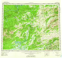
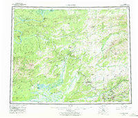
1956 Map of Livengood
USGS Topo · Published 1961About this map
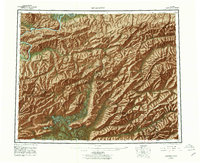
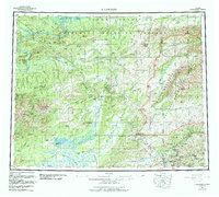
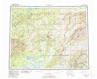
The Yukon River winds through the northern reaches of this Alaskan interior landscape, a territory defined by gold-bearing creeks and high ridges in the mid-1950s. Mining camps and settlements like Livengood, Chatanika, and Cleary anchor the region's human geography, connected by the burgeoning Elliott Highway and a network of Winter Trails and Tractor Trails. These routes provided vital access to remote sites such as Eldorado Camp and Pedro Camp before more permanent infrastructure arrived. The terrain is marked by distinctive prominences like Wickersham Dome, Hot Springs Dome, and the White Mountains, which overlook complex drainage systems including the Tolovana River and Chatanika River. For genealogists and local historians, the presence of vanished camps like Golden City and Meehan offers a specific view into the ephemeral mining communities that once populated the Fairbanks Meridian during this era of post-war development.
Find a feature on this map
97 named features on this map. Tap any name to fly to it.
Don’t see what you’re looking for? This feature index may not catch every label — zoom into the map to look around manually.
Map Details
Editions of this 1956 Livengood Map
9 editions found

Other maps of this area

1945 · Livengood
USGS Topo · 1:250,000

1948 · Kantishna River
USGS Topo · 1:250,000

1949 · Fairbanks D-1
USGS Topo · 1:62,500

1949 · Fairbanks D-2
USGS Topo · 1:62,500

1949 · Fairbanks D-3
USGS Topo · 1:63,360

1949 · Fairbanks D-4
USGS Topo · 1:63,360

1950 · Fairbanks
USGS Topo · 1:250,000

1950 · Big Delta
USGS Topo · 1:250,000

1950 · Big Delta D-6
USGS Topo · 1:63,360

1950 · Fairbanks D-5
USGS Topo · 1:63,360