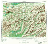
1956 Map of Livengood
USGS Topo · Published 1967About this map
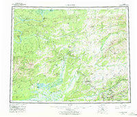
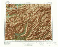
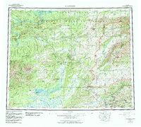
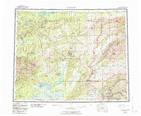
Livengood stands as a central mining and transportation hub in this mid-century portrait of the Alaskan interior. The landscape is defined by the drainage systems of the Yukon River and the Tatalina River, where early aviation and overland travel intersect. Significant gold-mining activity is evident near the Steese Highway at the southern edge, where numerous camps such as Pedro Camp, Cleary, and Meehan clustered along the creeks. The map documents the remnants of early river commerce at the Fort Hamlin (Site) and the industrial footprint of the era through extensive Tractor Trails and Winter Trails.
Find a feature on this map
100 named features on this map. Tap any name to fly to it.
Don’t see what you’re looking for? This feature index may not catch every label — zoom into the map to look around manually.
Map Details
Editions of this 1956 Livengood Map
9 editions found

Other maps of this area

1945 · Livengood
USGS Topo · 1:250,000

1948 · Kantishna River
USGS Topo · 1:250,000

1949 · Fairbanks D-1
USGS Topo · 1:62,500

1949 · Fairbanks D-2
USGS Topo · 1:62,500

1949 · Fairbanks D-3
USGS Topo · 1:63,360

1949 · Fairbanks D-4
USGS Topo · 1:63,360

1950 · Fairbanks
USGS Topo · 1:250,000

1950 · Big Delta
USGS Topo · 1:250,000

1950 · Big Delta D-6
USGS Topo · 1:63,360

1950 · Fairbanks D-5
USGS Topo · 1:63,360