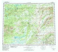
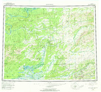
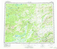
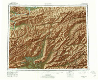
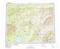
1956 Map of Livengood
USGS Topo · Published 1984About this map
The Yukon River and the sweeping interior wilderness north of Fairbanks define this mid-century portrait of the Alaskan bush. This region is characterized by the high elevations of Livengood Dome and the White Mountains, where the landscape transition reflects the post-statehood shift toward conservation and resource management. The map documents the early path of the Dalton Highway and the Elliott Highway, essential lifelines for mining camps and remote settlements like Livengood and Minto.
Find a feature on this map
87 named features on this map. Tap any name to fly to it.
Don’t see what you’re looking for? This feature index may not catch every label — zoom into the map to look around manually.
Map Details
Editions of this 1956 Livengood Map
9 editions found

Other maps of this area

1945 · Livengood
USGS Topo · 1:250,000

1948 · Kantishna River
USGS Topo · 1:250,000

1949 · Fairbanks D-1
USGS Topo · 1:62,500

1949 · Fairbanks D-2
USGS Topo · 1:62,500

1949 · Fairbanks D-3
USGS Topo · 1:63,360

1949 · Fairbanks D-4
USGS Topo · 1:63,360

1950 · Fairbanks
USGS Topo · 1:250,000

1950 · Big Delta
USGS Topo · 1:250,000

1950 · Big Delta D-6
USGS Topo · 1:63,360

1950 · Fairbanks D-5
USGS Topo · 1:63,360