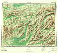
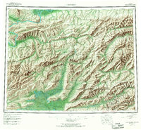
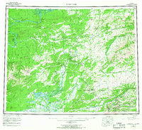
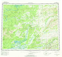
1956 Map of Livengood
USGS Topo · Published 1992About this map
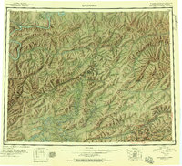
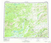
Livengood and the gold-mining camps north of Fairbanks dominate this mid-20th-century interior Alaskan landscape. The map details a transition in infrastructure, showing the Trans-Alaska Pipeline and the Dalton Highway cutting across a wilderness defined by the Yukon River and the White Mountains National Recreation Area. Local history is preserved through labels like the Fort Hamlin (Site) and the Davidson Ditch, an engineering marvel built to supply water to hydraulic mining operations. Farther south, the concentration of settlements such as Chatanika, Pedro Camp, and Cleary reflects the enduring importance of the Fairbanks mining district. Terrain features like Money Knob and Livengood Dome provide context for the placer mining activity that established these outposts, while the Tolovana Hot Springs Dome and the Yukon Flats illustrate the diverse geothermal and alluvial geography of the region.
Find a feature on this map
109 named features on this map. Tap any name to fly to it.
Don’t see what you’re looking for? This feature index may not catch every label — zoom into the map to look around manually.
Map Details
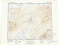
Editions of this 1956 Livengood Map
9 editions found


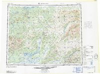
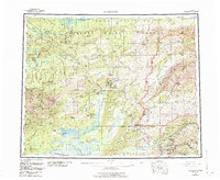
Historical Maps of Livengood Through Time
4 maps found