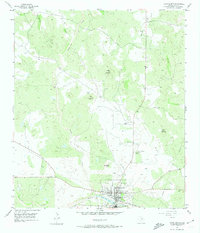
1955 Map of Llano North
USGS Topo · Published 1974About this map
The town of Llano sits along the south bank of the Llano River in this mid-century portrait of the Texas Hill Country. The landscape is defined by the granite-and-gneiss uplands common to the region, with prominent landmarks such as Horse Mountain, Fox Mountain, and Town Peak rising above the creek drainages. Transportation infrastructure is centered on the Texas and New Orleans (SP) railroad line, which served the cattle and mineral interests of the area.
Find a feature on this map
27 named features on this map. Tap any name to fly to it.
Don’t see what you’re looking for? This feature index may not catch every label — zoom into the map to look around manually.
Map Details
Editions of this 1955 Llano North Map
2 editions found
Other maps of this area

1887 · Llano
USGS Topo · 1:125,000

1894 · Llano
USGS Topo · 1:125,000

1904 · Llano
USGS Topo · 1:125,000

1909 · Llano
USGS Topo · 1:125,000

1918 · Llano
USGS Topo · 1:125,000

1954 · Llano
USGS Topo · 1:250,000

1955 · Llano
USGS Topo · 1:250,000
1955 · Magill Mountain
USGS Topo · 1:24,000

1955 · Valley Spring
USGS Topo · 1:24,000
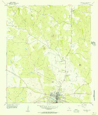
1955 · Llano North
USGS Topo · 1:24,000