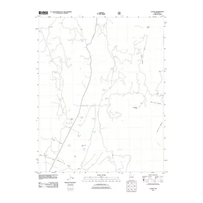
2011 Map of Llaves
USGS Topo · Published 2011About this map
State Hwy 112 bisects this high-elevation landscape, connecting isolated settlements and ranch lands in Rio Arriba County. The terrain is defined by dramatic elevations, including Gallina Mountain and the prominent Dead Man Peak, with deep drainages like Cañon de la Alameda cutting through the earth. Water management is central to the area's utility, as evidenced by a dense network of catchment features such as ET Tank, Alamo Tank, and South Tank, which support the livestock and ranching operations at Schmidt Ranch.
Find a feature on this map
37 named features on this map. Tap any name to fly to it.
Don’t see what you’re looking for? This feature index may not catch every label — zoom into the map to look around manually.
Map Details
Editions of this 2011 Llaves Map
This is the sole edition of this map. No revisions or reprints were ever made.
Other maps of this area

1909 · Gallina
USGS Topo · 1:125,000

1953 · Laguna Peak
USGS Topo · 1:24,000

1953 · Navajo Peak
USGS Topo · 1:24,000

1954 · Aztec
USGS Topo · 1:250,000

1955 · Llaves
USGS Topo · 1:62,500

1955 · Tierra Amarilla
USGS Topo · 1:62,500

1955 · Boulder Lake
USGS Topo · 1:62,500

1958 · Aztec
USGS Topo · 1:250,000

1962 · Aztec
USGS Topo · 1:250,000

1965 · Aztec
USGS Topo · 1:250,000