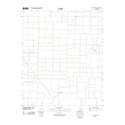
2010 Map of Lockettville
USGS Topo · Published 2010About this map
Lockettville and the smaller community of Arnett anchor this West Texas landscape, which is defined by a rigorous grid of ranch roads and energy infrastructure. The geography is notable for its extensive naming of local routes, with corridors like Rattlesnake, Wolf, and Tiger crisscrossing the plains between larger thoroughfares such as Fm 41. The industrial footprint of the region is centered on the West Ropes Oil Field, reflecting the economic importance of petroleum extraction in Hockley County during the early 21st century. While the terrain appears largely flat, the intricate web of section-line roads, including Ranch Rd 3261 and Fm 1585, reveals the highly organized division of land typical of the South Plains. These local roads serve as the primary landmarks for genealogists and local historians tracing the reach of family homesteads and ranching operations throughout the quadrangle.
Find a feature on this map
33 named features on this map. Tap any name to fly to it.
Don’t see what you’re looking for? This feature index may not catch every label — zoom into the map to look around manually.
Map Details
Editions of this 2010 Lockettville Map
This is the sole edition of this map. No revisions or reprints were ever made.
Other maps of this area

1954 · Brownfield
USGS Topo · 1:250,000

1957 · Meadow
USGS Topo · 1:62,500

1957 · Wolfforth
USGS Topo · 1:62,500

1958 · Brownfield
USGS Topo · 1:250,000

1962 · Brownfield
USGS Topo · 1:250,000

1965 · Levelland West
USGS Topo · 1:24,000

1965 · Sundown
USGS Topo · 1:24,000

1965 · Levelland East
USGS Topo · 1:24,000

1965 · Lockettville
USGS Topo · 1:24,000

1969 · Sundown SE
USGS Topo · 1:24,000