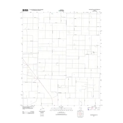
2012 Map of Lockettville
USGS Topo · Published 2012About this map
The High Plains of West Texas are defined here by a rigid grid of ranch roads and energy infrastructure. The West Ropes Oil Field occupies the eastern portion of the landscape, signifying the region's long-standing reliance on petroleum extraction. Small rural hubs such as Arnett and Lockettville provide the primary points of settlement, connected by a network of state and local routes including Farm-to-Market Road 3261 and Fm-1585. The terrain is marked by numerous animal-themed road names, such as Bald Eagle Rd, Chickadee Rd, and Rattlesnake Rd, which crisscross the flat agricultural and oil-producing acreage between E Ranch Rd 41 and W Ranch Rd 41. This layout reflects the systematic 20th-century organization of the Llano Estacado for efficient resource management and transportation.
Find a feature on this map
39 named features on this map. Tap any name to fly to it.
Don’t see what you’re looking for? This feature index may not catch every label — zoom into the map to look around manually.
Map Details
Editions of this 2012 Lockettville Map
This is the sole edition of this map. No revisions or reprints were ever made.
Other maps of this area

1954 · Brownfield
USGS Topo · 1:250,000

1957 · Meadow
USGS Topo · 1:62,500

1957 · Wolfforth
USGS Topo · 1:62,500

1958 · Brownfield
USGS Topo · 1:250,000

1962 · Brownfield
USGS Topo · 1:250,000

1965 · Levelland West
USGS Topo · 1:24,000

1965 · Sundown
USGS Topo · 1:24,000

1965 · Levelland East
USGS Topo · 1:24,000

1965 · Lockettville
USGS Topo · 1:24,000

1969 · Sundown SE
USGS Topo · 1:24,000