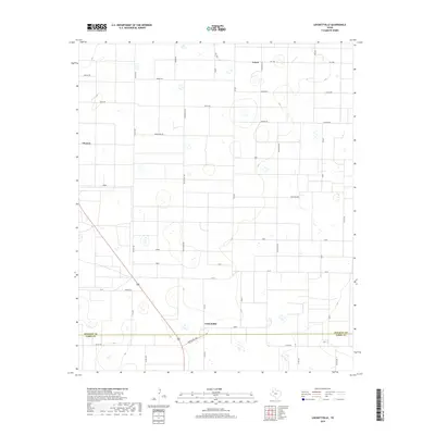
2019 Map of Lockettville
USGS Topo · Published 2019About this map
Lockettville sits near the southern boundary of this West Texas landscape, where the flat plains are divided by a rigorous grid of ranch roads and farm-to-market routes. In the late 2010s, this area on the border of Hockley and Terry Counties maintains its agricultural character, evidenced by the scattered small settlements of Arnett and Clauene. The topography is punctuated by numerous small depressions and playas typical of the Llano Estacado. A distinctive naming convention for the local road network is visible throughout the quadrangle, with parallel routes such as Jaguar Rd, Koala Rd, and Mongoose Rd crossing through the northern sections, while Zebra and Wolf mark the south. These thoroughfares, including major connectors like Fm 41 and Fm 1585, facilitate movement between the remote homesteads and larger regional hubs.
Find a feature on this map
38 named features on this map. Tap any name to fly to it.
Don’t see what you’re looking for? This feature index may not catch every label — zoom into the map to look around manually.
Map Details
Editions of this 2019 Lockettville Map
This is the sole edition of this map. No revisions or reprints were ever made.
Other maps of this area

1954 · Brownfield
USGS Topo · 1:250,000

1957 · Meadow
USGS Topo · 1:62,500

1957 · Wolfforth
USGS Topo · 1:62,500

1958 · Brownfield
USGS Topo · 1:250,000

1962 · Brownfield
USGS Topo · 1:250,000

1965 · Levelland West
USGS Topo · 1:24,000

1965 · Sundown
USGS Topo · 1:24,000

1965 · Levelland East
USGS Topo · 1:24,000

1965 · Lockettville
USGS Topo · 1:24,000

1969 · Sundown SE
USGS Topo · 1:24,000