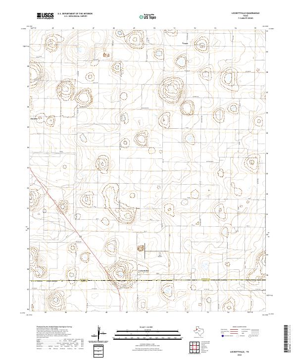
2022 Map of Lockettville
USGS Topo · Published 2022About this map
Lockettville sits at the southern reach of this West Texas agricultural landscape, positioned just north of the Hockley Co and Terry Co line. The settlement pattern is defined by a rigorous grid of section roads and small communities like Arnett and Clauene that emerged to serve the surrounding cotton and grain farms. A distinctive system of animal-themed rural roads—including Jaguar Rd, Koala Rd, Mongoose Rd, and Zebra—organizes the territory between major thoroughfares like Us-385 and Fm 41. The presence of the Pro Agri Airport near Lockettville underscores the region's continued reliance on aerial application and aviation to support its extensive farming operations. The terrain is characterized by numerous small depressions and playas, typical of the Llano Estacado, which provide critical drainage in an otherwise level expanse.
Find a feature on this map
39 named features on this map. Tap any name to fly to it.
Don’t see what you’re looking for? This feature index may not catch every label — zoom into the map to look around manually.
Map Details
Editions of this 2022 Lockettville Map
This is the sole edition of this map. No revisions or reprints were ever made.
Other maps of this area

1954 · Brownfield
USGS Topo · 1:250,000

1957 · Meadow
USGS Topo · 1:62,500

1957 · Wolfforth
USGS Topo · 1:62,500

1958 · Brownfield
USGS Topo · 1:250,000

1962 · Brownfield
USGS Topo · 1:250,000

1965 · Levelland West
USGS Topo · 1:24,000

1965 · Sundown
USGS Topo · 1:24,000

1965 · Levelland East
USGS Topo · 1:24,000

1965 · Lockettville
USGS Topo · 1:24,000

1969 · Sundown SE
USGS Topo · 1:24,000