
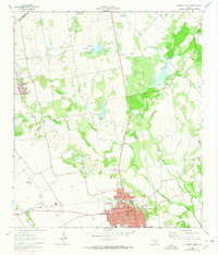
1963 Map of Lockhart North
USGS Topo · Published 1966About this map
Lockhart serves as the focal point of this 1963 survey, illustrating a Texas community defined by its water management and transit corridors. The landscape is marked by a series of engineered flood control structures, including Site No 18 and Site No 20, which regulate the flow of Plum Creek and Elm Creek. These waterworks reflect the region's mid-century efforts to stabilize the agricultural and residential environment.
Find a feature on this map
30 named features on this map. Tap any name to fly to it.
Don’t see what you’re looking for? This feature index may not catch every label — zoom into the map to look around manually.
Map Details
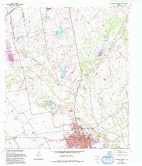
Editions of this 1963 Lockhart North Map
3 editions found
Other maps of this area

1896 · Austin
USGS Topo · 1:125,000

1897 · Austin
USGS Topo · 1:125,000

1910 · Austin
USGS Topo · 1:125,000

1911 · San Marcos
USGS Topo · 1:125,000

1919 · San Marcos
USGS Topo · 1:125,000

1925 · San Marcos 1-d
USGS Topo · 1:48,000

1930 · Lockhart
USGS Topo · 1:62,500

1953 · Seguin
USGS Topo · 1:250,000

1954 · Austin
USGS Topo · 1:250,000

1955 · Montopolis
USGS Topo · 1:62,500