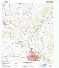
1963 Map of Lockhart North
USGS Topo · Published 1994About this map
The northern reaches of Lockhart expand along the banks of Plum Creek, reflecting a Texas landscape defined by agriculture and extraction. This 1963 survey, updated in the late 1980s, captures the town's northward growth toward the Niederwald corporate boundary and the high point of the Hays and Caldwell County line. The terrain is marked by a complex network of seasonal waterways, including Dry Creek and Boggy Creek, feeding into the central Plum Creek valley. Outside the town limits, the rural landscape is dotted with evidence of local industry, from Gravel Pits to scattered Oil Wells in the northeastern quadrant. Genealogists and local historians can trace family locations near the San Pablo Cem and Guadalupe Cem, or follow early transport routes like Larremore Rd and Borchert Loop that weave through the surrounding ranchlands.
Find a feature on this map
27 named features on this map. Tap any name to fly to it.
Don’t see what you’re looking for? This feature index may not catch every label — zoom into the map to look around manually.
Map Details
Editions of this 1963 Lockhart North Map
3 editions found

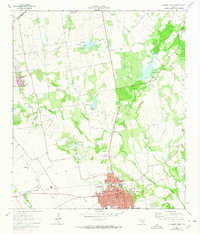
Other maps of this area

1896 · Austin
USGS Topo · 1:125,000

1897 · Austin
USGS Topo · 1:125,000

1910 · Austin
USGS Topo · 1:125,000

1911 · San Marcos
USGS Topo · 1:125,000

1919 · San Marcos
USGS Topo · 1:125,000

1925 · San Marcos 1-d
USGS Topo · 1:48,000

1930 · Lockhart
USGS Topo · 1:62,500

1953 · Seguin
USGS Topo · 1:250,000

1954 · Austin
USGS Topo · 1:250,000

1955 · Montopolis
USGS Topo · 1:62,500