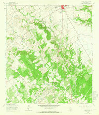
1964 Map of Lockhart South
USGS Topo · Published 1966About this map
Lockhart State Park and the southern reaches of Lockhart define this mid-1960s landscape, where the town's residential expansion meets the creek-carved topography of Caldwell County. The intricate drainage network of Plum Creek and its many tributaries, including Clear Fork Plum Creek and Dry Branch, creates a varied terrain marked by numerous gravel pits and specialized infrastructure.
Find a feature on this map
32 named features on this map. Tap any name to fly to it.
Don’t see what you’re looking for? This feature index may not catch every label — zoom into the map to look around manually.
Map Details
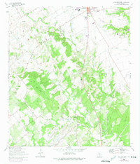
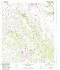
Editions of this 1964 Lockhart South Map
3 editions found
Other maps of this area

1911 · San Marcos
USGS Topo · 1:125,000

1919 · San Marcos
USGS Topo · 1:125,000

1925 · San Marcos 1-d
USGS Topo · 1:48,000

1925 · San Marcos 4-a
USGS Topo · 1:48,000

1929 · Luling
USGS Topo · 1:62,500

1930 · Lockhart
USGS Topo · 1:62,500

1930 · Seguin
USGS Topo · 1:62,500

1953 · Seguin
USGS Topo · 1:250,000

1958 · Seguin
USGS Topo · 1:250,000

1963 · Lockhart North
USGS Topo · 1:24,000