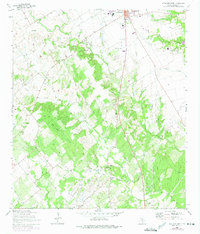
1964 Map of Lockhart South
USGS Topo · Published 1975About this map
The southern edges of Lockhart and the surrounding Caldwell County countryside are meticulously documented in this mid-century survey. The landscape is defined by the winding network of the Clear Fork Plum Creek and its many tributaries, including Pin Oak Creek and Seals Creek. To the west, Lockhart State Park preserves the creek-side topography, while the outskirts of town show the growth of civic infrastructure like the Municipal Airport and Golden Age Home.
Find a feature on this map
35 named features on this map. Tap any name to fly to it.
Don’t see what you’re looking for? This feature index may not catch every label — zoom into the map to look around manually.
Map Details
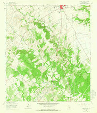
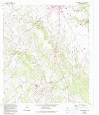
Editions of this 1964 Lockhart South Map
3 editions found
Other maps of this area

1911 · San Marcos
USGS Topo · 1:125,000

1919 · San Marcos
USGS Topo · 1:125,000

1925 · San Marcos 1-d
USGS Topo · 1:48,000

1925 · San Marcos 4-a
USGS Topo · 1:48,000

1929 · Luling
USGS Topo · 1:62,500

1930 · Lockhart
USGS Topo · 1:62,500

1930 · Seguin
USGS Topo · 1:62,500

1953 · Seguin
USGS Topo · 1:250,000

1958 · Seguin
USGS Topo · 1:250,000

1963 · Lockhart North
USGS Topo · 1:24,000