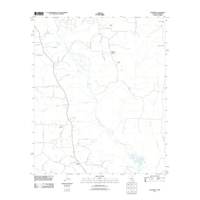
2011 Map of Lockhart
USGS Topo · Published 2011About this map
Bayou de Loutre meanders south through the piney woods of Union Parish and across the state line into Louisiana, anchoring a landscape defined by small rural settlements and timber-access roads. The community of Lockhart sits near the southern edge of the map, situated at the junction of several country roads near the winding path of Tenmile Creek. This 2011 survey reflects the area's continued reliance on natural resource extraction, most notably at the Hibank Oil Field and Bryan Ranch Rd in the north.
Find a feature on this map
45 named features on this map. Tap any name to fly to it.
Don’t see what you’re looking for? This feature index may not catch every label — zoom into the map to look around manually.
Map Details
Editions of this 2011 Lockhart Map
This is the sole edition of this map. No revisions or reprints were ever made.
Other maps of this area

1927 · El Dorado
USGS Topo · 1:62,500

1930 · El Dorado
USGS Topo · 1:62,500

1933 · Strong
USGS Topo · 1:62,500

1937 · Strong
USGS Topo · 1:62,500

1939 · Strong
USGS Topo · 1:62,500

1951 · Bernice
USGS Topo · 1:62,500

1951 · El Dorado
USGS Topo · 1:62,500

1952 · Farmerville
USGS Topo · 1:62,500

1953 · El Dorado
USGS Topo · 1:250,000

1955 · Shreveport
USGS Topo · 1:250,000