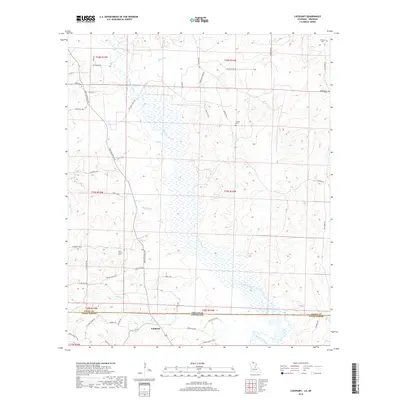
2018 Map of Lockhart
USGS Topo · Published 2018About this map
Lockhart sits at the heart of this landscape, positioned along the border between Arkansas and Louisiana. The area is defined by the expansive wetlands and winding course of Bayou de Loutre, which flows through the center of the terrain alongside several tributaries including Hibank Cr, Buckaloo Br, and Tenmile Cr. This complex drainage system dominates the topography, influencing the placement of local roads and land use patterns across the Union Parish and Union County line.
Find a feature on this map
54 named features on this map. Tap any name to fly to it.
Don’t see what you’re looking for? This feature index may not catch every label — zoom into the map to look around manually.
Map Details
Editions of this 2018 Lockhart Map
This is the sole edition of this map. No revisions or reprints were ever made.
Other maps of this area

1927 · El Dorado
USGS Topo · 1:62,500

1930 · El Dorado
USGS Topo · 1:62,500

1933 · Strong
USGS Topo · 1:62,500

1937 · Strong
USGS Topo · 1:62,500

1939 · Strong
USGS Topo · 1:62,500

1951 · Bernice
USGS Topo · 1:62,500

1951 · El Dorado
USGS Topo · 1:62,500

1952 · Farmerville
USGS Topo · 1:62,500

1953 · El Dorado
USGS Topo · 1:250,000

1955 · Shreveport
USGS Topo · 1:250,000