
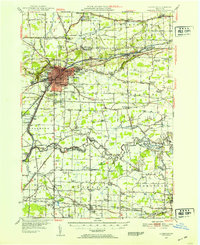
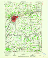
1948 Map of Lockport
USGS Topo · Published 1953About this map
The Erie Canal cuts through this Western New York landscape, defining the industrial and geographic character of Lockport and its surrounding hamlets. Following the 1942 aerial photography and 1948 ground surveys, the map reveals the complex intersection of early aviation and traditional transport, featuring sites like Graf Airport, Lee Airport, and the rail corridors of the New York Central and Erie Railroad. The network of rural schoolhouses, from School No 1 to School No 20, alongside numerous houses of worship like St Bridgets Ch and the Chapel of the Good Shepherd, provides a detailed blueprint of mid-century community life.
Find a feature on this map
95 named features on this map. Tap any name to fly to it.
Don’t see what you’re looking for? This feature index may not catch every label — zoom into the map to look around manually.
Map Details
Editions of this 1948 Lockport Map
3 editions found
Other maps of this area

1894 · Buffalo
USGS Topo · 1:62,500

1894 · Wilson
USGS Topo · 1:62,500

1897 · Tonawanda
USGS Topo · 1:62,500

1897 · Olcott
USGS Topo · 1:62,500

1897 · Medina
USGS Topo · 1:62,500

1897 · Lockport
USGS Topo · 1:62,500

1897 · Ridgeway
USGS Topo · 1:62,500

1899 · Niagara
USGS Topo · 1:125,000

1900 · Wilson
USGS Topo · 1:62,500

1900 · Tonawanda
USGS Topo · 1:62,500