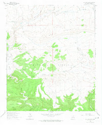
1963 Map of Loco Mountain
USGS Topo · Published 1974About this map
Loco Mountain dominates the central landscape of this western New Mexico survey, which highlights a high-elevation environment within the Gila National Forest. The geography is defined by a series of prominent mesas and ridges, including Iron Creek Mesa and Aeroplane Mesa, separated by deep drainage systems like Moonshine Canyon and Porcupine Canyon. Water management is a primary feature of the area's land use, evidenced by the numerous named catchments such as Dipping Vat Tank and Fence Tank scattered across the upland slopes.
Find a feature on this map
41 named features on this map. Tap any name to fly to it.
Don’t see what you’re looking for? This feature index may not catch every label — zoom into the map to look around manually.
Map Details
Editions of this 1963 Loco Mountain Map
2 editions found
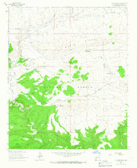
Other maps of this area

1910 · Mogollon
USGS Topo · 1:125,000

1911 · Alum Mountain
USGS Topo · 1:125,000

1912 · Mogollon
USGS Topo · 1:125,000

1913 · Alum Mountain
USGS Topo · 1:125,000

1915 · Reserve
USGS Topo · 1:125,000

1918 · Pelona
USGS Topo · 1:125,000

1918 · Reserve
USGS Topo · 1:125,000

1954 · Clifton
USGS Topo · 1:250,000

1957 · Clifton
USGS Topo · 1:250,000

1958 · Clifton
USGS Topo · 1:250,000