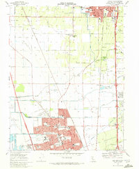
1968 Map of Lodi South
USGS Topo · Published 1972About this map
Agricultural expansion and suburban growth define the Central Valley corridor between Lodi and northern Stockton during the late 1960s. The landscape is a transition from the structured residential blocks of Lincoln Village to the vast orchard-lined tracts of the Campo De Los Franceses land grant. Water management is central to the area's development, evidenced by the Mokelumne Aqueduquet and a complex network of sloughs, including Pixley Slough and Mosher Slough. Transportation and industry follow the parallel paths of the Southern Pacific RR and Western Pacific RR, which serve the small siding at Armstrong and the industrial sectors near Tomspur. Local community life is anchored by landmarks like Micke Grove County Park, the Lodi Academy, and the Cherokee Memorial Park (Cem), highlighting the era's established social infrastructure.
Find a feature on this map
97 named features on this map. Tap any name to fly to it.
Don’t see what you’re looking for? This feature index may not catch every label — zoom into the map to look around manually.
Map Details
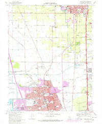
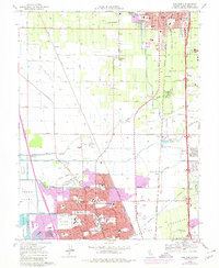
Editions of this 1968 Lodi South Map
3 editions found
Other maps of this area

1894 · Lodi
USGS Topo · 1:125,000

1908 · Waterloo
USGS Topo · 1:31,680

1908 · Lockeford
USGS Topo · 1:31,680

1910 · New Hope
USGS Topo · 1:31,680

1910 · Castle
USGS Topo · 1:31,680

1910 · Woodbridge
USGS Topo · 1:31,680

1910 · Headreach
USGS Topo · 1:31,680

1913 · Stockton
USGS Topo · 1:31,680

1913 · Holt
USGS Topo · 1:31,680

1914 · Burnham
USGS Topo · 1:31,680