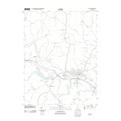
2011 Map of Logan
USGS Topo · Published 2011About this map
Logan serves as the focal point of this Hocking County landscape, situated at the confluence of the Hocking River and Oldtown Creek. The map documents a town layout with clear neighborhood divisions including West Logan and South Logan, while the Logan Post Office remains a central landmark. The surrounding countryside is heavily marked by its genealogical history, evidenced by a high density of small family and denominational burial grounds like the Brethren Cemetery, Dunkard Cemetery, and Sponagle Cemetery.
Find a feature on this map
133 named features on this map. Tap any name to fly to it.
Don’t see what you’re looking for? This feature index may not catch every label — zoom into the map to look around manually.
Map Details
Editions of this 2011 Logan Map
This is the sole edition of this map. No revisions or reprints were ever made.
Other maps of this area

1904 · Zaleski
USGS Topo · 1:62,500

1907 · Zaleski
USGS Topo · 1:62,500

1907 · Logan
USGS Topo · 1:62,500

1907 · Lancaster
USGS Topo · 1:62,500

1909 · Lancaster
USGS Topo · 1:62,500

1909 · Logan
USGS Topo · 1:62,500

1910 · Laurelville
USGS Topo · 1:62,500

1912 · Laurelville
USGS Topo · 1:62,500

1944 · Laurelville
USGS Topo · 1:62,500

1947 · Columbus
USGS Topo · 1:250,000