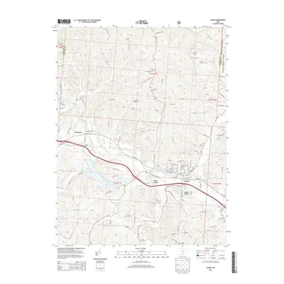
2013 Map of Logan
USGS Topo · Published 2013About this map
The Hocking River winds through this Hocking County landscape, anchoring the city of Logan and its surrounding communities of West Logan and South Logan. This 2013 survey captures the area's intricate network of family and community history, evidenced by a high density of burial sites such as the Old Logan Cem, Oak Grove Cem, and Antioch Cem. The topography is defined by significant ridges like Schultz Hill and Calico Ridge, while water management is highlighted by the Middletown Park District Dam on Hocking County Lake. A transition from the industrial and residential core of Logan to the protected timberlands of the Wayne National Forest is visible on the eastern edge. For genealogists and local historians, the numerous rural cemeteries like Sponagle Cem, Ruff Cem, and Mt Tabor Cem provide precise spatial context for early family settlements throughout the township sections.
Find a feature on this map
147 named features on this map. Tap any name to fly to it.
Don’t see what you’re looking for? This feature index may not catch every label — zoom into the map to look around manually.
Map Details
Editions of this 2013 Logan Map
This is the sole edition of this map. No revisions or reprints were ever made.
Other maps of this area

1904 · Zaleski
USGS Topo · 1:62,500

1907 · Zaleski
USGS Topo · 1:62,500

1907 · Logan
USGS Topo · 1:62,500

1907 · Lancaster
USGS Topo · 1:62,500

1909 · Lancaster
USGS Topo · 1:62,500

1909 · Logan
USGS Topo · 1:62,500

1910 · Laurelville
USGS Topo · 1:62,500

1912 · Laurelville
USGS Topo · 1:62,500

1944 · Laurelville
USGS Topo · 1:62,500

1947 · Columbus
USGS Topo · 1:250,000