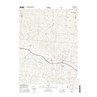
2016 Map of Logan
USGS Topo · Published 2016About this map
The Hocking River carves through this portion of Hocking County, anchoring a cluster of settlements that include Logan, West Logan, and South Logan. This 2016 survey highlights the intricate local road network and the area's transition into the Wayne National Forest along the northeast boundary. For genealogists, the map is particularly detailed regarding burial sites, marking numerous locations such as Oak Grove Cem, Old Logan Cem, and Union Cem.
Find a feature on this map
173 named features on this map. Tap any name to fly to it.
Don’t see what you’re looking for? This feature index may not catch every label — zoom into the map to look around manually.
Map Details
Editions of this 2016 Logan Map
This is the sole edition of this map. No revisions or reprints were ever made.
Other maps of this area

1904 · Zaleski
USGS Topo · 1:62,500

1907 · Zaleski
USGS Topo · 1:62,500

1907 · Logan
USGS Topo · 1:62,500

1907 · Lancaster
USGS Topo · 1:62,500

1909 · Lancaster
USGS Topo · 1:62,500

1909 · Logan
USGS Topo · 1:62,500

1910 · Laurelville
USGS Topo · 1:62,500

1912 · Laurelville
USGS Topo · 1:62,500

1944 · Laurelville
USGS Topo · 1:62,500

1947 · Columbus
USGS Topo · 1:250,000