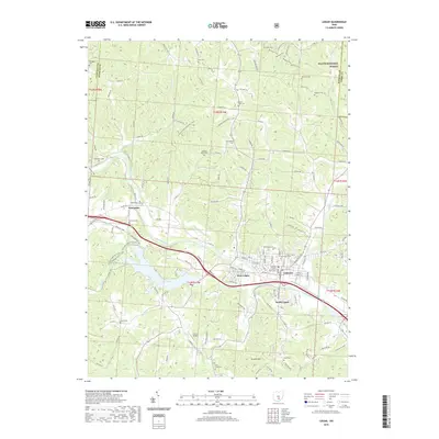
2019 Map of Logan
USGS Topo · Published 2019About this map
The Hocking River valley anchors this detailed 2019 survey of Logan, Hocking County. As the county seat, the city center is marked by the Hocking County Courthouse, serving as the urban hub for surrounding communities like West Logan and South Logan. The landscape is a complex of narrow valleys and ridges, many of which fall under the protection of the Wayne National Forest in the northeast. This modern topographic record is particularly valuable for genealogists due to its density of named burial sites, ranging from the central Old Logan Cem to smaller, family-associated grounds such as Ruff Cem, Dunkard Cem, and Sponagle Cem. Significant recreational and natural features, including Lake Logan and segments of the Buckeye Trail, illustrate the area's contemporary role as a gateway to southeastern Ohio’s forested hills.
Find a feature on this map
141 named features on this map. Tap any name to fly to it.
Don’t see what you’re looking for? This feature index may not catch every label — zoom into the map to look around manually.
Map Details
Editions of this 2019 Logan Map
This is the sole edition of this map. No revisions or reprints were ever made.
Other maps of this area

1904 · Zaleski
USGS Topo · 1:62,500

1907 · Zaleski
USGS Topo · 1:62,500

1907 · Logan
USGS Topo · 1:62,500

1907 · Lancaster
USGS Topo · 1:62,500

1909 · Lancaster
USGS Topo · 1:62,500

1909 · Logan
USGS Topo · 1:62,500

1910 · Laurelville
USGS Topo · 1:62,500

1912 · Laurelville
USGS Topo · 1:62,500

1944 · Laurelville
USGS Topo · 1:62,500

1947 · Columbus
USGS Topo · 1:250,000