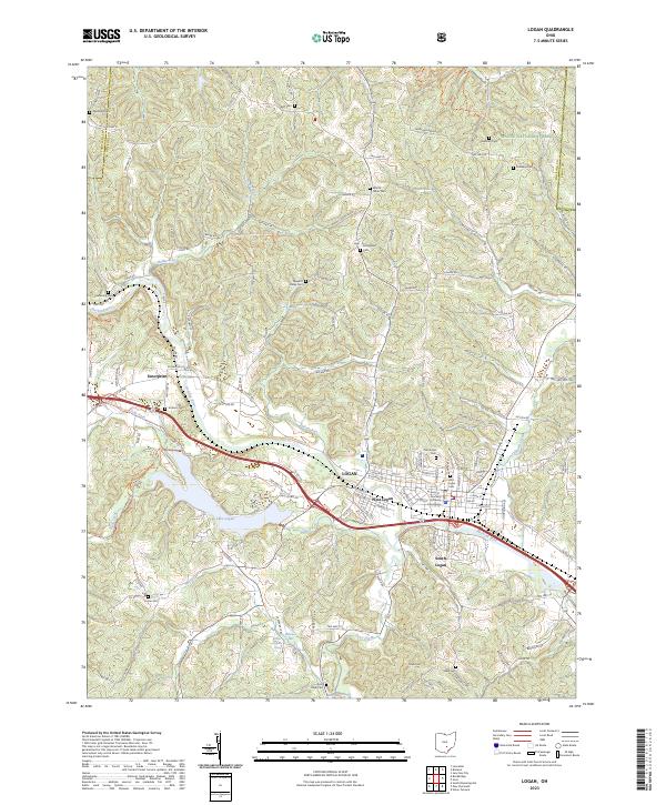
2023 Map of Logan
USGS Topo · Published 2023About this map
Logan serves as the focal point of this Hocking County landscape, where the Hocking River carves a path through the southeastern Ohio hill country. The map details a sophisticated network of small settlements including West Logan, South Logan, and Enterprise, all connected by winding routes like Co Rd 419 and Lake Logan Rd. Genealogists will find a high concentration of burial grounds, from the Old Logan Cem near the County Courthouse to rural family and church sites like Dunkard Cem, Mount Tabor Cem, and Sponagle Cem. Natural features define the outskirts, notably the expansive Wayne National Forest and the Lake Logan reservoir. Modern recreational footprints are also visible, specifically the winding path of the North Country National Scenic Trl as it traverses the ridges and valleys near Harper Run.
Find a feature on this map
145 named features on this map. Tap any name to fly to it.
Don’t see what you’re looking for? This feature index may not catch every label — zoom into the map to look around manually.
Map Details
Editions of this 2023 Logan Map
This is the sole edition of this map. No revisions or reprints were ever made.
Other maps of this area

1904 · Zaleski
USGS Topo · 1:62,500

1907 · Zaleski
USGS Topo · 1:62,500

1907 · Logan
USGS Topo · 1:62,500

1907 · Lancaster
USGS Topo · 1:62,500

1909 · Lancaster
USGS Topo · 1:62,500

1909 · Logan
USGS Topo · 1:62,500

1910 · Laurelville
USGS Topo · 1:62,500

1912 · Laurelville
USGS Topo · 1:62,500

1944 · Laurelville
USGS Topo · 1:62,500

1947 · Columbus
USGS Topo · 1:250,000