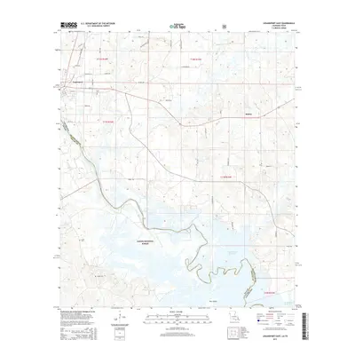
2015 Map of Logansport East
USGS Topo · Published 2015About this map
Logansport and the surrounding woodlands of the Sabine National Forest define this borderland where Louisiana meets Texas. The Sabine River serves as the natural boundary line, winding southward toward the expansive Toledo Bend Reservoir. This survey shows a landscape where quiet rural life persists alongside significant water resources, including Cawthorn Lake and the marshy reaches near Pine Island.
Find a feature on this map
49 named features on this map. Tap any name to fly to it.
Don’t see what you’re looking for? This feature index may not catch every label — zoom into the map to look around manually.
Map Details
Editions of this 2015 Logansport East Map
This is the sole edition of this map. No revisions or reprints were ever made.
Other maps of this area

1944 · Logansport
USGS Topo · 1:62,500

1945 · Grand Cane
USGS Topo · 1:62,500

1945 · Socagee Bayou
USGS Topo · 1:62,500

1953 · Alexandria
USGS Topo · 1:250,000

1953 · Palestine
USGS Topo · 1:250,000

1955 · Shreveport
USGS Topo · 1:250,000

1955 · Alexandria
USGS Topo · 1:250,000

1956 · Shreveport
USGS Topo · 1:250,000

1956 · Tyler
USGS Topo · 1:250,000

1956 · Logansport
USGS Topo · 1:62,500