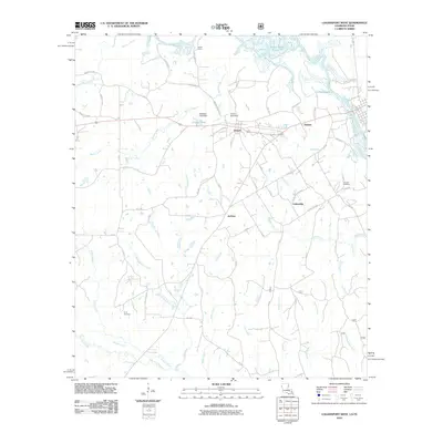
2010 Map of Logansport West
USGS Topo · Published 2010About this map
Joaquin and Haslam anchor the landscape along the western banks of the Sabine River in this detailed 2010 survey. The terrain is defined by the massive Toledo Bend Reservoir to the northeast and a complex network of creeks and branches that drain the surrounding timberlands, including Petty Creek, Morris Creek, and Brushy Creek. Smaller rural communities like Fellowship and Jackson are connected by a web of county roads and farm-to-market routes, revealing a settlement pattern deeply tied to the local watercourses and the river border.
Find a feature on this map
78 named features on this map. Tap any name to fly to it.
Don’t see what you’re looking for? This feature index may not catch every label — zoom into the map to look around manually.
Map Details
Editions of this 2010 Logansport West Map
This is the sole edition of this map. No revisions or reprints were ever made.
Other maps of this area

1944 · Logansport
USGS Topo · 1:62,500

1945 · Grand Cane
USGS Topo · 1:62,500

1945 · Socagee Bayou
USGS Topo · 1:62,500

1953 · Alexandria
USGS Topo · 1:250,000

1953 · Palestine
USGS Topo · 1:250,000

1955 · Shreveport
USGS Topo · 1:250,000

1955 · Alexandria
USGS Topo · 1:250,000

1956 · Shreveport
USGS Topo · 1:250,000

1956 · Tyler
USGS Topo · 1:250,000

1956 · Logansport
USGS Topo · 1:62,500