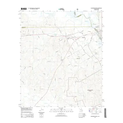
2015 Map of Logansport West
USGS Topo · Published 2015About this map
The Sabine River forms the state line between Louisiana and Texas in this 2015 study, anchoring a landscape where the river's path has been transformed by the Toledo Bend Reservoir. On the Louisiana side, the town of Logansport serves as a primary gateway, connected to the Texas settlements of Joaquin and Haslam by US Highway 84 E. The topography transitions from these organized river-bluff communities into the protected woodlands of the Sabine National Forest in the southeast.
Find a feature on this map
94 named features on this map. Tap any name to fly to it.
Don’t see what you’re looking for? This feature index may not catch every label — zoom into the map to look around manually.
Map Details
Editions of this 2015 Logansport West Map
This is the sole edition of this map. No revisions or reprints were ever made.
Other maps of this area

1944 · Logansport
USGS Topo · 1:62,500

1945 · Grand Cane
USGS Topo · 1:62,500

1945 · Socagee Bayou
USGS Topo · 1:62,500

1953 · Alexandria
USGS Topo · 1:250,000

1953 · Palestine
USGS Topo · 1:250,000

1955 · Shreveport
USGS Topo · 1:250,000

1955 · Alexandria
USGS Topo · 1:250,000

1956 · Shreveport
USGS Topo · 1:250,000

1956 · Tyler
USGS Topo · 1:250,000

1956 · Logansport
USGS Topo · 1:62,500