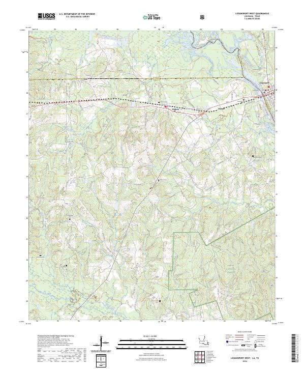
2024 Map of Logansport West
USGS Topo · Published 2024About this map
The Sabine River serves as the primary geographic and political spine for this region, delineating the border between Louisiana and Texas. Centered around the border towns of Joaquin and Haslam on the Texas side, and the edge of Logansport in Louisiana, the map reveals a landscape defined by timberlands and small-scale agriculture. A significant portion of the southern quadrant is occupied by the Sabine National Forest, where drainage networks like Wolf Creek and Albert Creek flow through the protected woodland.
Find a feature on this map
110 named features on this map. Tap any name to fly to it.
Don’t see what you’re looking for? This feature index may not catch every label — zoom into the map to look around manually.
Map Details
Editions of this 2024 Logansport West Map
This is the sole edition of this map. No revisions or reprints were ever made.
Other maps of this area

1944 · Logansport
USGS Topo · 1:62,500

1945 · Grand Cane
USGS Topo · 1:62,500

1945 · Socagee Bayou
USGS Topo · 1:62,500

1953 · Alexandria
USGS Topo · 1:250,000

1953 · Palestine
USGS Topo · 1:250,000

1955 · Shreveport
USGS Topo · 1:250,000

1955 · Alexandria
USGS Topo · 1:250,000

1956 · Shreveport
USGS Topo · 1:250,000

1956 · Tyler
USGS Topo · 1:250,000

1956 · Logansport
USGS Topo · 1:62,500