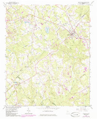
1964 Map of Loganville
USGS Topo · Published 1985About this map
The town of Loganville serves as the focal point of this mid-1960s survey, marking a period when the landscape of Walton and Gwinnett counties was defined by small-town centers and a network of rural creek valleys. Highlighting the early industrial and social foundations of the area, the map features Mcelroys Mill and numerous community landmarks such as Kellys Chapel, Haynes Creek Ch, and Sharon Ch. These sites, along with family-linked locations like Plummer Cem and Hillcrest Cem, offer a detailed view of the region's genealogical and civic heritage.
Find a feature on this map
58 named features on this map. Tap any name to fly to it.
Don’t see what you’re looking for? This feature index may not catch every label — zoom into the map to look around manually.
Map Details
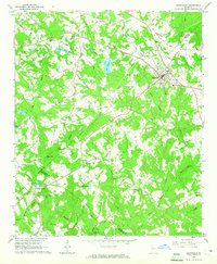
Editions of this 1964 Loganville Map
2 editions found
Other maps of this area

1888 · Atlanta
USGS Topo · 1:125,000

1890 · Atlanta
USGS Topo · 1:125,000

1892 · Atlanta
USGS Topo · 1:125,000

1895 · Atlanta
USGS Topo · 1:125,000

1896 · Monroe
USGS Topo · 1:125,000

1953 · Atlanta
USGS Topo · 1:250,000

1953 · Athens
USGS Topo · 1:250,000

1956 · Snellville
USGS Topo · 1:24,000

1956 · Conyers
USGS Topo · 1:24,000

1957 · Atlanta
USGS Topo · 1:250,000