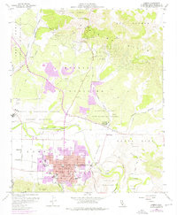
1959 Map of Lompoc
USGS Topo · Published 1976About this map
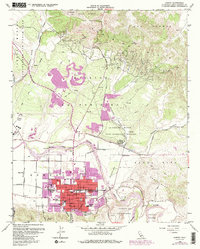
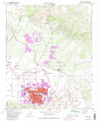
The city of Lompoc dominates the valley floor in this mid-century survey, revealing a landscape defined by institutional growth and agricultural transition. To the north, the massive footprint of Vandenberg Air Force Base and the Branch US Disciplinary Barracks Military Reservation mark the era's significant military presence. Cultural history is preserved at the La Purisima Mission State Historical Monument, where the Mission La Purisima Concepcion stands against the backdrop of the Purisima Hills.
Find a feature on this map
49 named features on this map. Tap any name to fly to it.
Don’t see what you’re looking for? This feature index may not catch every label — zoom into the map to look around manually.
Map Details
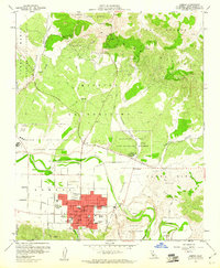
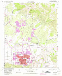
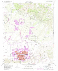
Editions of this 1959 Lompoc Map
6 editions found
Other maps of this area

1905 · Guadalupe
USGS Topo · 1:125,000

1905 · Lompoc
USGS Topo · 1:125,000

1942 · Point Arguello
USGS Topo · 1:62,500

1942 · Guadalupe
USGS Topo · 1:125,000

1942 · Lompoc
USGS Topo · 1:125,000

1942 · Lompoc
USGS Topo · 1:62,500

1942 · Santa Maria
USGS Topo · 1:62,500

1942 · Point Sal
USGS Topo · 1:62,500

1943 · Lompoc
USGS Topo · 1:125,000

1947 · Lompoc
USGS Topo · 1:24,000