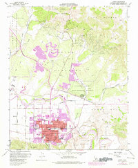
1959 Map of Lompoc
USGS Topo · Published 1982About this map
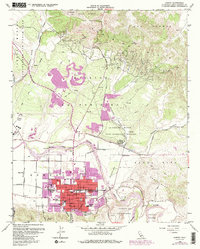
Lompoc serves as the central hub of this mid-century survey, shown just before the significant urban expansion of the late 1970s. The community is framed by the Santa Ynez River to the north and the productive Lompoc Oil Field to the northeast, where numerous Oil Wells dot the Purisima Hills. Cultural landmarks include the La Purisima Mission State Historical Monument, preserving the site of Mission La Purisima Concepcion.
Find a feature on this map
50 named features on this map. Tap any name to fly to it.
Don’t see what you’re looking for? This feature index may not catch every label — zoom into the map to look around manually.
Map Details
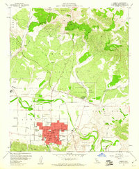
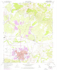
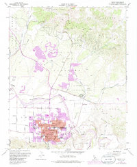
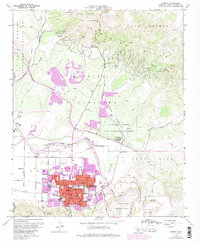
Editions of this 1959 Lompoc Map
6 editions found
Other maps of this area

1905 · Guadalupe
USGS Topo · 1:125,000

1905 · Lompoc
USGS Topo · 1:125,000

1942 · Point Arguello
USGS Topo · 1:62,500

1942 · Guadalupe
USGS Topo · 1:125,000

1942 · Lompoc
USGS Topo · 1:125,000

1942 · Lompoc
USGS Topo · 1:62,500

1942 · Santa Maria
USGS Topo · 1:62,500

1942 · Point Sal
USGS Topo · 1:62,500

1943 · Lompoc
USGS Topo · 1:125,000

1947 · Lompoc
USGS Topo · 1:24,000