
1899 Map of Londonderry
USGS Topo · Published 1899About this map
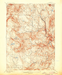
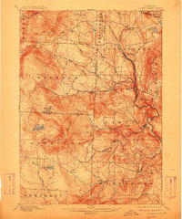
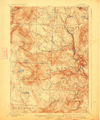
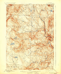
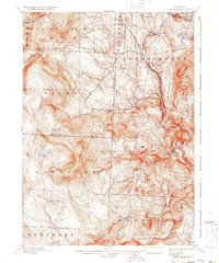
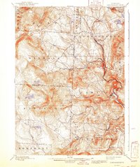
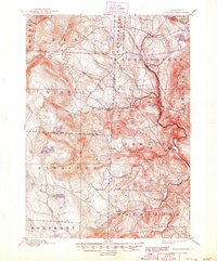
The Central Vermont R.R. follows the winding course of the West River through the heart of the Green Mountains, anchoring a network of small mill villages and mountain settlements at the end of the nineteenth century. This topography shows the concentrated development in valleys around Londonderry and Jamaica, where river power and rail access supported local industry. Higher elevations reveal a different landscape of seasonal activity and remote settlements like Stratton and Peru, where the terrain rises sharply toward Bromley Mountain and the massive profile of Stratton Mountain. Local landmarks such as Lowell Lake and Stratton Pond dot the uplands, while the varied clusters of South Londonderry, Bondville, and the curious Bucketville illustrate the dense, localized nature of Vermont's late-century townships before the widespread adoption of the automobile changed the regional economy.
Find a feature on this map
52 named features on this map. Tap any name to fly to it.
Don’t see what you’re looking for? This feature index may not catch every label — zoom into the map to look around manually.
Map Details
Editions of this 1899 Londonderry Map
8 editions found
Other maps of this area

1889 · Wilmington
USGS Topo · 1:62,500

1891 · Wilmington
USGS Topo · 1:62,500

1891 · Brattleboro
USGS Topo · 1:62,500

1893 · Wallingford
USGS Topo · 1:62,500

1893 · Brattleboro
USGS Topo · 1:62,500

1894 · Londonderry
USGS Topo · 1:62,500

1894 · Pawlet
USGS Topo · 1:62,500

1894 · Equinox
USGS Topo · 1:62,500

1896 · Equinox
USGS Topo · 1:62,500

1897 · Pawlet
USGS Topo · 1:62,500