
1952 Map of Lone Butte
USGS Topo · Published 1957About this map
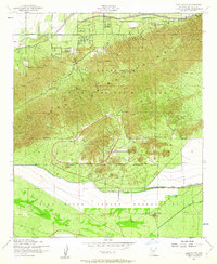
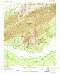
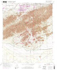
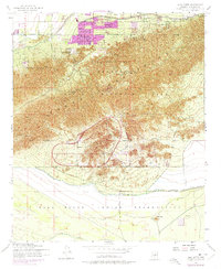
The South Mountains dominate this 1952 landscape, where the rugged desert topography meets the northern edge of the Gila River Indian Reservation. This map reveals a fascinating intersection of public land use and institutional development during the early fifties. While much of the terrain is preserved within South Mountain Park, including The Lookout and various Prospects, the lower slopes transition into specialized facilities like the Phoenix Police Academy and the sprawling Phoenix Proving Grounds. The southern half of the sheet is defined by the Reservation Boundary, leading to the isolated landmark of Lone Butte. Significant infrastructure is also visible, such as the Western Canal and a remote Landing Strip, illustrating the expansion of communication and transportation at the edge of the Gila River valley.
Find a feature on this map
15 named features on this map. Tap any name to fly to it.
Don’t see what you’re looking for? This feature index may not catch every label — zoom into the map to look around manually.
Map Details
Editions of this 1952 Lone Butte Map
5 editions found
Other maps of this area

1912 · Phoenix
USGS Topo · 1:62,500

1913 · Mesa
USGS Topo · 1:62,500

1913 · Maricopa
USGS Topo · 1:62,500

1914 · Gila Butte
USGS Topo · 1:62,500

1914 · Phoenix
USGS Topo · 1:62,500

1915 · Mesa
USGS Topo · 1:62,500

1915 · Maricopa
USGS Topo · 1:62,500

1917 · Gila Butte
USGS Topo · 1:62,500

1952 · Tempe
USGS Topo · 1:24,000

1952 · Gila Butte NW
USGS Topo · 1:24,000