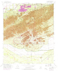
1952 Map of Lone Butte
USGS Topo · Published 1975About this map
South Mountain Park and the rugged Phoenix Mountains dominate this mid-century survey of the Arizona desert, capturing a period of expanding institutional and recreational land use. The map highlights the sprawling Phoenix Proving Grounds and the Phoenix Police Academy situated against the mountain slopes. To the north, early urban development is signaled by a Trailer Park and residential clusters along Dobbins Road, while the Western Canal indicates the importance of irrigation in the arid environment.
Find a feature on this map
20 named features on this map. Tap any name to fly to it.
Don’t see what you’re looking for? This feature index may not catch every label — zoom into the map to look around manually.
Map Details
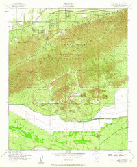
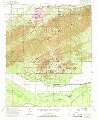
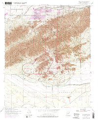
Editions of this 1952 Lone Butte Map
5 editions found

Other maps of this area

1912 · Phoenix
USGS Topo · 1:62,500

1913 · Mesa
USGS Topo · 1:62,500

1913 · Maricopa
USGS Topo · 1:62,500

1914 · Gila Butte
USGS Topo · 1:62,500

1914 · Phoenix
USGS Topo · 1:62,500

1915 · Mesa
USGS Topo · 1:62,500

1915 · Maricopa
USGS Topo · 1:62,500

1917 · Gila Butte
USGS Topo · 1:62,500

1952 · Tempe
USGS Topo · 1:24,000

1952 · Gila Butte NW
USGS Topo · 1:24,000