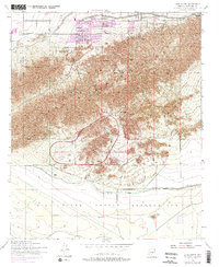
1952 Map of Lone Butte
USGS Topo · Published 1975About this map
South Mountain Park dominates this mid-century landscape, preserving the rugged elevation of the Phoenix Mountains as metropolitan growth begins to press against the park's northern and western boundaries. Just south of the mountains, the Phoenix Proving Grounds and an isolated Landing Strip reflect the era's specialized land use, situated on the edge of the Gila River Indian Reservation.
Find a feature on this map
19 named features on this map. Tap any name to fly to it.
Don’t see what you’re looking for? This feature index may not catch every label — zoom into the map to look around manually.
Map Details
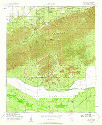
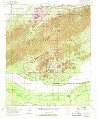
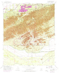
Editions of this 1952 Lone Butte Map
5 editions found

Other maps of this area

1912 · Phoenix
USGS Topo · 1:62,500

1913 · Mesa
USGS Topo · 1:62,500

1913 · Maricopa
USGS Topo · 1:62,500

1914 · Gila Butte
USGS Topo · 1:62,500

1914 · Phoenix
USGS Topo · 1:62,500

1915 · Mesa
USGS Topo · 1:62,500

1915 · Maricopa
USGS Topo · 1:62,500

1917 · Gila Butte
USGS Topo · 1:62,500

1952 · Tempe
USGS Topo · 1:24,000

1952 · Gila Butte NW
USGS Topo · 1:24,000