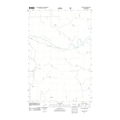
2011 Map of Lone Butte
USGS Topo · Published 2011About this map
The Little Missouri River snakes through this McKenzie County landscape, carving a deep valley through the high plains of North Dakota. In the early 21st century, this area remains defined by large-scale ranching and remote infrastructure, as evidenced by several family-named landmarks including the W Watson Ranch, Murray Ranch, and MTarnavsky Ranch. High points such as Morman Butte, Square Top, and the namesake Lone Butte provide significant topographical relief against the winding drainages of Spring Creek and Dry Creek.
Find a feature on this map
35 named features on this map. Tap any name to fly to it.
Don’t see what you’re looking for? This feature index may not catch every label — zoom into the map to look around manually.
Map Details
Editions of this 2011 Lone Butte Map
This is the sole edition of this map. No revisions or reprints were ever made.
Other maps of this area

1953 · Watford City
USGS Topo · 1:250,000

1957 · Watford City
USGS Topo · 1:250,000

1958 · Long X Divide
USGS Topo · 1:24,000

1958 · Lone Butte SE
USGS Topo · 1:24,000

1958 · Lone Butte
USGS Topo · 1:24,000

1958 · Tepee Buttes
USGS Topo · 1:24,000

1959 · Lone Butte NW
USGS Topo · 1:24,000

1959 · Lone Butte NE
USGS Topo · 1:24,000

1967 · Watford City
USGS Topo · 1:250,000

1974 · Petes Creek
USGS Topo · 1:24,000