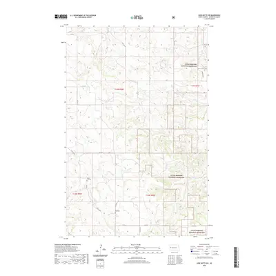
2020 Map of Lone Butte NW
USGS Topo · Published 2020About this map
Little Missouri National Grassland dominates this corner of McKenzie County, where the high plains are deeply dissected by a network of drainage creeks. The landscape is defined by the erosion patterns of Sevenmile Cr, Elkhorn Cr, and Rough Cr, creating a complex topography that has historically limited dense settlement. Human presence is centered along established routes like Spring Cr Rd and the section lines of the Public Land Survey System. For genealogists and local historians, the map provides precise locations for the Spring Creek Cem and the Old Spring Creek Cem, offering a window into the early ranching and farming families who settled this challenging North Dakota terrain. The transition between these burial sites and the surrounding government lands illustrates the area's shift from private homesteading to federal conservation management.
Find a feature on this map
25 named features on this map. Tap any name to fly to it.
Don’t see what you’re looking for? This feature index may not catch every label — zoom into the map to look around manually.
Map Details
Editions of this 2020 Lone Butte NW Map
This is the sole edition of this map. No revisions or reprints were ever made.
Other maps of this area

1953 · Watford City
USGS Topo · 1:250,000

1957 · Watford City
USGS Topo · 1:250,000

1958 · Long X Divide
USGS Topo · 1:24,000

1958 · Lone Butte SE
USGS Topo · 1:24,000

1958 · Lone Butte
USGS Topo · 1:24,000

1958 · Tepee Buttes
USGS Topo · 1:24,000

1959 · Lone Butte NW
USGS Topo · 1:24,000

1959 · Lone Butte NE
USGS Topo · 1:24,000

1967 · Watford City
USGS Topo · 1:250,000

1978 · Schafer
USGS Topo · 1:24,000