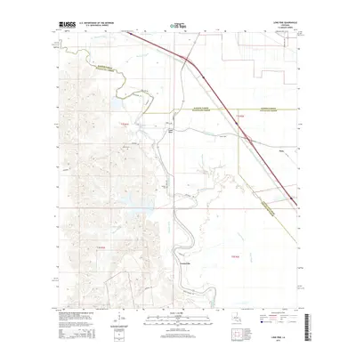
2015 Map of Lone Pine
USGS Topo · Published 2015About this map
Bayou Cocodrie meanders through the heart of this Louisiana landscape, defining the junction of Rapides, Evangeline, and Avoyelles Parishes. The modern hydrology is heavily influenced by the massive Bayou Boeuf-Cocodrie Diversion Channel, which cuts diagonally across the terrain to manage the drainage of the surrounding bottomlands. Small agricultural communities like Lone Pine and Centerville anchor the local road network, while the settlement of Haas sits near the eastern edge.
Find a feature on this map
35 named features on this map. Tap any name to fly to it.
Don’t see what you’re looking for? This feature index may not catch every label — zoom into the map to look around manually.
Map Details
Editions of this 2015 Lone Pine Map
This is the sole edition of this map. No revisions or reprints were ever made.
Other maps of this area

1935 · Turkey Creek
USGS Topo · 1:62,500

1935 · Lecompte
USGS Topo · 1:62,500

1940 · Marksville
USGS Topo · 1:62,500

1948 · Bunkie
USGS Topo · 1:62,500

1949 · Turkey Creek
USGS Topo · 1:62,500

1952 · Lake Charles
USGS Topo · 1:250,000

1953 · Alexandria
USGS Topo · 1:250,000

1954 · Lake Charles
USGS Topo · 1:250,000

1955 · Alexandria
USGS Topo · 1:250,000

1957 · Lecompte
USGS Topo · 1:62,500