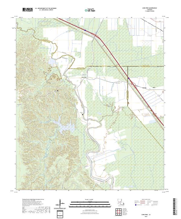
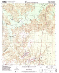
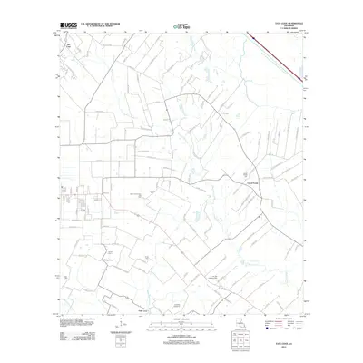
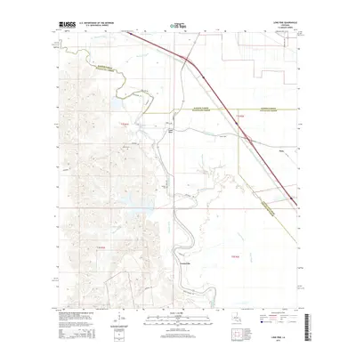
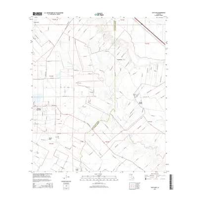
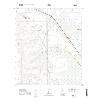
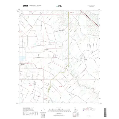
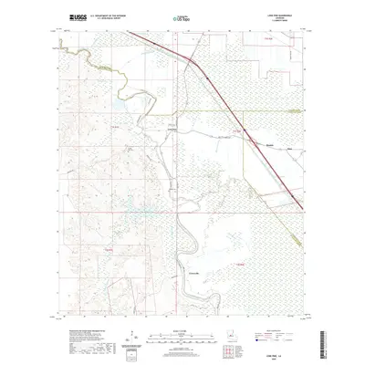
2024 Map of Lone Pine
USGS Topo · Published 2024About this map
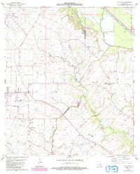
The Lake Ophelia National Wildlife Refuge anchors the northwestern corner of this landscape, where the bayous and brakes of the Mississippi alluvial plain define the local geography. This modern survey illustrates a complex hydrological network where Bayou Cocodrie and the engineered Bayou Boeuf - Cocodrie Diversion Channel manage the flow across the low-lying parishes. The small community of Lone Pine sits at the junction of Rte 115 and Cheneyville Rd, serving as a central point for the surrounding rural homesteads and agricultural operations.
Find a feature on this map
37 named features on this map. Tap any name to fly to it.
Don’t see what you’re looking for? This feature index may not catch every label — zoom into the map to look around manually.
Map Details
Editions of this 2024 Lone Pine Map
This is the sole edition of this map. No revisions or reprints were ever made.
Historical Maps of Bunkie Through Time
56 maps found

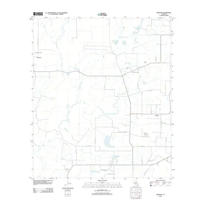
1935 Beaver
Evangeline Parish, LA

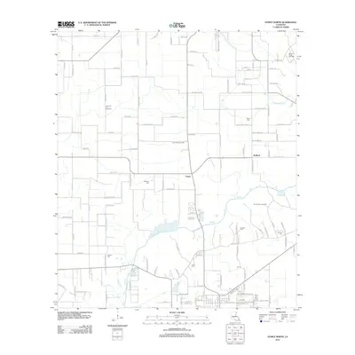
1947 Bond
Evangeline Parish, LA

1947 Fruge Lake
Evangeline Parish, LA

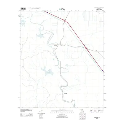
1947 Redland
Evangeline Parish, LA

1954 Beaver
Evangeline Parish, LA

1954 Fruge Lake
Evangeline Parish, LA
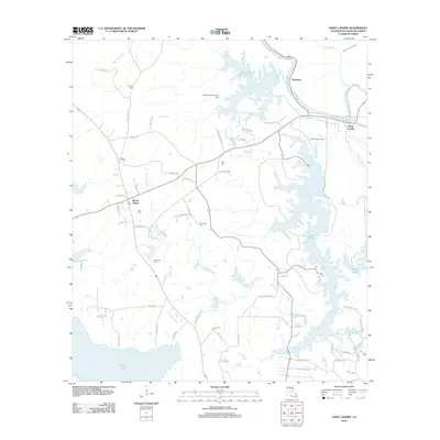
1967 Cocodrie Lake
Evangeline Parish, LA
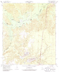
1967 Lone Pine
Evangeline Parish, LA
1967 St. Landry
Evangeline Parish, LA

1968 Beaver
Evangeline Parish, LA

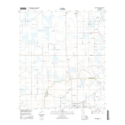
1983 Eunice North
Evangeline Parish, LA
1983 Tate Cove
Evangeline Parish, LA
1986 Bond
Evangeline Parish, LA
1986 Duralde
Evangeline Parish, LA
1998 Beaver
Evangeline Parish, LA
1998 Cocodrie Lake
Evangeline Parish, LA
2012 Beaver
Evangeline Parish, LA
2012 Bond
Evangeline Parish, LA
2012 Cocodrie Lake
Evangeline Parish, LA
2012 Duralde
Evangeline Parish, LA
2012 Eunice North
Evangeline Parish, LA
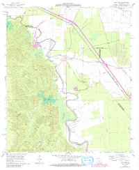
2012 Lone Pine
Evangeline Parish, LA
2012 Saint Landry
Evangeline Parish, LA
2012 Tate Cove
Evangeline Parish, LA
2015 Beaver
Evangeline Parish, LA
2015 Bond
Evangeline Parish, LA
2015 Cocodrie Lake
Evangeline Parish, LA
2015 Duralde
Evangeline Parish, LA
2015 Eunice North
Evangeline Parish, LA
2015 Lone Pine
Evangeline Parish, LA
2015 Saint Landry
Evangeline Parish, LA
2015 Tate Cove
Evangeline Parish, LA
2018 Beaver
Evangeline Parish, LA
2018 Bond
Evangeline Parish, LA
2018 Cocodrie Lake
Evangeline Parish, LA
2018 Duralde
Evangeline Parish, LA
2018 Eunice North
Evangeline Parish, LA
2018 Lone Pine
Evangeline Parish, LA
2018 Saint Landry
Evangeline Parish, LA
2018 Tate Cove
Evangeline Parish, LA
2020 Beaver
Evangeline Parish, LA
2020 Bond
Evangeline Parish, LA
2020 Cocodrie Lake
Evangeline Parish, LA
2020 Duralde
Evangeline Parish, LA

2020 Eunice North
Evangeline Parish, LA
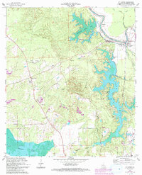
2020 Lone Pine
Evangeline Parish, LA
2020 Saint Landry
Evangeline Parish, LA
2020 Tate Cove
Evangeline Parish, LA
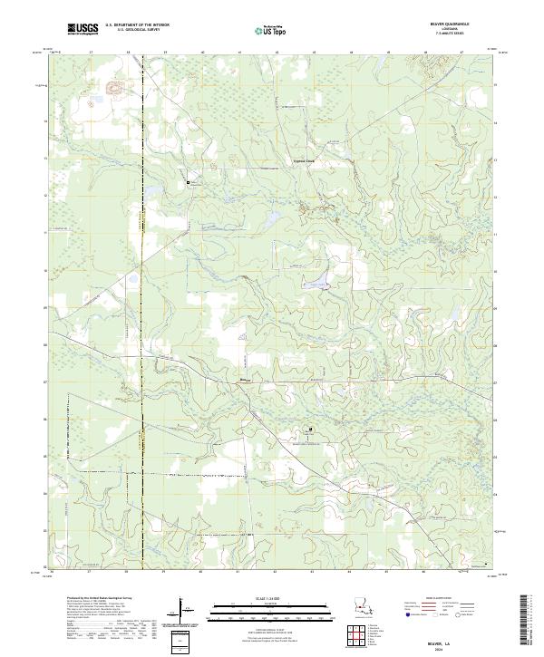
2024 Beaver
Evangeline Parish, LA
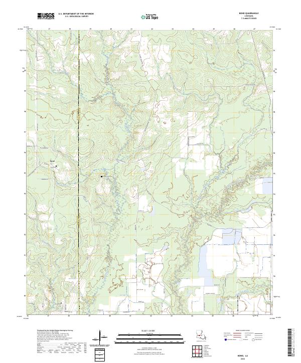
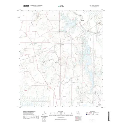
2024 Bond
Evangeline Parish, LA
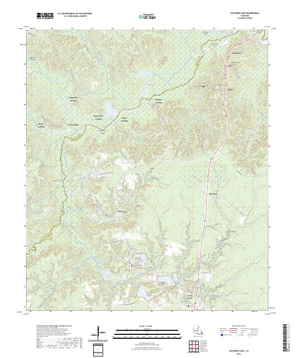
2024 Cocodrie Lake
Evangeline Parish, LA
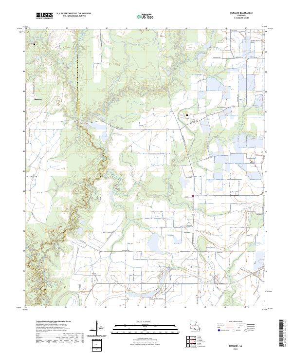
2024 Duralde
Evangeline Parish, LA
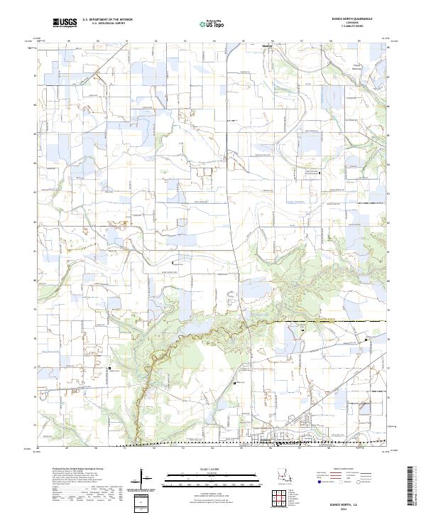
2024 Eunice North
Evangeline Parish, LA
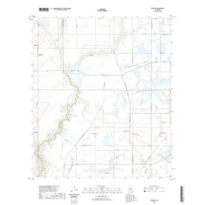
2024 Lone Pine
Evangeline Parish, LA
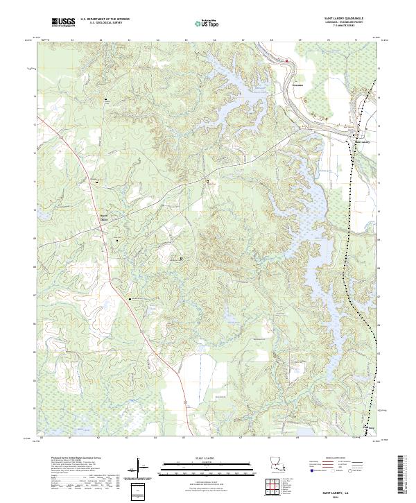
2024 Saint Landry
Evangeline Parish, LA
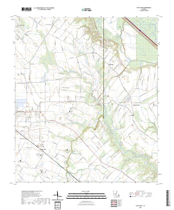
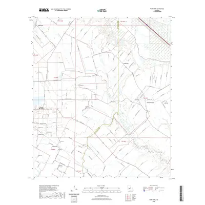
2024 Tate Cove
Evangeline Parish, LA