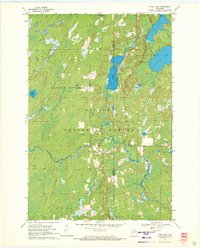
1970 Map of Long Lake
USGS Topo · Published 1972About this map
The Nicolet National Forest dominates this northern Wisconsin landscape, where the Pine River and Popple River carve their paths through the timberlands. The settlement of Long Lake serves as the focal point, situated near its namesake waters and the Chicago and North Western rail line. This 1970 field-checked survey reveals a region defined by its water resources and forestry infrastructure, including the Long Lake Lookout Tower and multiple Gravel Pits used for local road building.
Find a feature on this map
26 named features on this map. Tap any name to fly to it.
Don’t see what you’re looking for? This feature index may not catch every label — zoom into the map to look around manually.
Map Details
Editions of this 1970 Long Lake Map
2 editions found
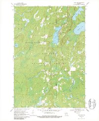
Other maps of this area

1938 · Alvin
USGS Topo · 1:48,000

1939 · Crandon
USGS Topo · 1:48,000

1939 · Laona
USGS Topo · 1:48,000

1939 · Long Lake
USGS Topo · 1:48,000

1941 · Crandon
USGS Topo · 1:48,000

1946 · Laona
USGS Topo · 1:48,000

1946 · Alvin
USGS Topo · 1:48,000

1947 · Crandon
USGS Topo · 1:48,000

1948 · Long Lake
USGS Topo · 1:48,000

1954 · Iron Mountain
USGS Topo · 1:250,000