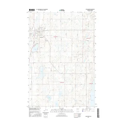
2016 Map of Long Prairie
USGS Topo · Published 2016About this map
Long Prairie serves as the focal point of this Todd County landscape, situated along the banks of the Long Prairie River. The settlement's orderly street grid, featuring routes such as Central Ave and Riverside Dr, transitions into a surrounding countryside defined by a dense network of glacial lakes and wetlands. Prominent water bodies like Latimer Lake, Charlotte Lake, and the larger Big Swan Lake to the southeast anchor the rural sections. For those researching local heritage, the map identifies significant land use markers, including the Todd Field aviation facility and two major burial grounds: Saint Mary Cem north of the town center and Long Prairie Cem to the south. The drainage pattern is further detailed by Schwanke Cr and Turtle Cr, which thread between ridges and various smaller basins such as Felix Lake and Hansman Lake.
Find a feature on this map
52 named features on this map. Tap any name to fly to it.
Don’t see what you’re looking for? This feature index may not catch every label — zoom into the map to look around manually.
Map Details
Editions of this 2016 Long Prairie Map
This is the sole edition of this map. No revisions or reprints were ever made.
Other maps of this area

1948 · Cushing
USGS Topo · 1:62,500

1950 · Swanville
USGS Topo · 1:62,500

1950 · Cushing
USGS Topo · 1:62,500

1953 · Brainerd
USGS Topo · 1:250,000

1953 · Saint Cloud
USGS Topo · 1:250,000

1957 · Brainerd
USGS Topo · 1:250,000

1957 · Saint Cloud
USGS Topo · 1:250,000

1958 · Saint Cloud
USGS Topo · 1:250,000

1958 · Brainerd
USGS Topo · 1:250,000

1965 · Brainerd
USGS Topo · 1:250,000