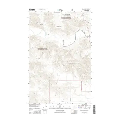
2014 Map of Long X Divide
USGS Topo · Published 2014About this map
The Little Missouri River meanders through a landscape defined by the intersection of protected badlands and working ranchlands in McKenzie County. This 2014 survey captures the geographic transition between the Theodore Roosevelt National Park and the expansive Little Missouri National Grassland. The eponymous Long X Divide stands as a prominent topographical landmark, separating the drainage systems of Squaw Cr to the north and Corral Cr to the south. Development is sparse, primarily consisting of critical transport corridors like Us-85 and specialized park routes such as Scenic Dr and Juniper Rd. The map illustrates the complex boundary management of federal lands, including areas designated by the North Dakota state government and the US Forest Service. Local landmarks such as Cedar Canyon and Stevens Spring provide essential reference points in this sparsely populated region of the northern plains.
Find a feature on this map
19 named features on this map. Tap any name to fly to it.
Don’t see what you’re looking for? This feature index may not catch every label — zoom into the map to look around manually.
Map Details
Editions of this 2014 Long X Divide Map
This is the sole edition of this map. No revisions or reprints were ever made.
Other maps of this area

1953 · Watford City
USGS Topo · 1:250,000

1957 · Watford City
USGS Topo · 1:250,000

1958 · Long X Divide
USGS Topo · 1:24,000

1958 · Sperati Point
USGS Topo · 1:24,000

1958 · Lone Butte
USGS Topo · 1:24,000

1958 · Stocke Butte
USGS Topo · 1:24,000

1958 · Tepee Buttes
USGS Topo · 1:24,000

1959 · Lone Butte NW
USGS Topo · 1:24,000

1967 · Watford City
USGS Topo · 1:250,000

1974 · Wolf Coulee
USGS Topo · 1:24,000