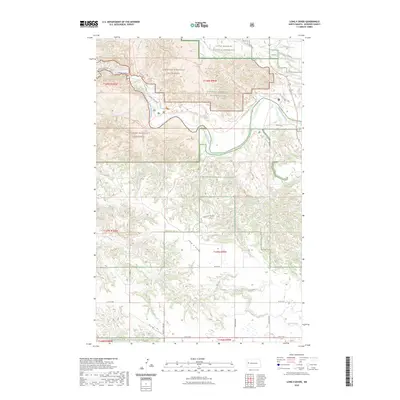
2023 Map of Long X Divide
USGS Topo · Published 2023About this map
The Little Missouri River carves a winding path through this western North Dakota landscape, anchoring a region defined by its conservation history and topographic complexity. This survey delineates the intricate boundaries of Theodore Roosevelt National Park and the surrounding Little Missouri National Grassland. The terrain is characterized by the Long X Divide, which separates the drainage systems of Long Creek and Corral Creek. A network of backcountry routes, including the famed Maah Dah Hey Trl, Buckhorn Trl, and Achenbach Trl, provides access to the Theodore Roosevelt Wilderness. Notable landmarks like Cedar Canyon and Stevens Spring highlight the natural features of the North Dakota badlands. The map also records the section lines and township boundaries that structured the early ranching and public land management of McKenzie County.
Find a feature on this map
31 named features on this map. Tap any name to fly to it.
Don’t see what you’re looking for? This feature index may not catch every label — zoom into the map to look around manually.
Map Details
Editions of this 2023 Long X Divide Map
This is the sole edition of this map. No revisions or reprints were ever made.
Other maps of this area

1953 · Watford City
USGS Topo · 1:250,000

1957 · Watford City
USGS Topo · 1:250,000

1958 · Long X Divide
USGS Topo · 1:24,000

1958 · Sperati Point
USGS Topo · 1:24,000

1958 · Lone Butte
USGS Topo · 1:24,000

1958 · Stocke Butte
USGS Topo · 1:24,000

1958 · Tepee Buttes
USGS Topo · 1:24,000

1959 · Lone Butte NW
USGS Topo · 1:24,000

1967 · Watford City
USGS Topo · 1:250,000

1974 · Wolf Coulee
USGS Topo · 1:24,000