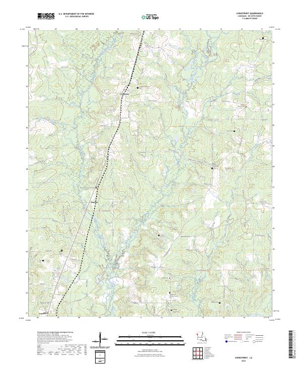
2024 Map of Longstreet
USGS Topo · Published 2024About this map
Longstreet and Funston serve as the primary community hubs in this pocket of De Soto Parish, where a landscape of timber and bayous is defined by a deep network of family and community landmarks. The map reveals a high density of rural cemeteries and places of worship, including Longstreet Memorial Cem, Cornerstone Cowboy Church, and the Ferguson Family Cem. These sites, alongside names like the Barnes Memorial Park Cem and Williams Family Cem, offer invaluable data for genealogists tracing family footprints in northwestern Louisiana. The terrain is drained by several meandering waterways, most notably Bushneck Bayou, Bayou Castor, and Canadian Bayou, which snake through the low-lying elevations. A grid of secondary roads like State Rte 3015 and Wood Springs Rd connects these disparate settlements and homesteads, reflecting a rural lifestyle centered on land ownership and local congregation.
Find a feature on this map
74 named features on this map. Tap any name to fly to it.
Don’t see what you’re looking for? This feature index may not catch every label — zoom into the map to look around manually.
Map Details
Editions of this 2024 Longstreet Map
This is the sole edition of this map. No revisions or reprints were ever made.
Other maps of this area

1944 · Logansport
USGS Topo · 1:62,500

1945 · Grand Cane
USGS Topo · 1:62,500

1945 · Socagee Bayou
USGS Topo · 1:62,500

1953 · Alexandria
USGS Topo · 1:250,000

1953 · Palestine
USGS Topo · 1:250,000

1955 · Shreveport
USGS Topo · 1:250,000

1955 · Alexandria
USGS Topo · 1:250,000

1956 · Shreveport
USGS Topo · 1:250,000

1956 · Tyler
USGS Topo · 1:250,000

1956 · Logansport
USGS Topo · 1:62,500