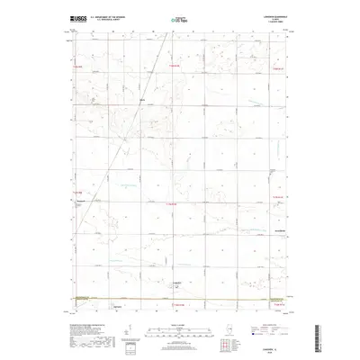
2018 Map of Longview
USGS Topo · Published 2018About this map
The border of Champaign and Douglas counties defines the southern portion of this landscape, where the prairie grid is interlaced with several significant waterways. Small agricultural hubs like Longview, Broadlands, and Fairland are established along the township lines, serving as central points for the surrounding rural community. The drainage of the land is carefully managed through features such as the Little Vermilion Ditch and Long Point Slough, reflecting the region's history of agricultural engineering to reclaim and maintain productive farmland.
Find a feature on this map
48 named features on this map. Tap any name to fly to it.
Don’t see what you’re looking for? This feature index may not catch every label — zoom into the map to look around manually.
Map Details
Editions of this 2018 Longview Map
This is the sole edition of this map. No revisions or reprints were ever made.
Other maps of this area

1906 · Urbana
USGS Topo · 1:62,500

1931 · Fithian
USGS Topo · 1:48,000

1943 · Fithian
USGS Topo · 1:62,500

1953 · Danville
USGS Topo · 1:250,000

1953 · Indianapolis
USGS Topo · 1:250,000

1955 · Danville
USGS Topo · 1:250,000

1956 · Danville
USGS Topo · 1:250,000

1956 · Indianapolis
USGS Topo · 1:250,000

1956 · Newman
USGS Topo · 1:62,500

1956 · Villa Grove
USGS Topo · 1:62,500