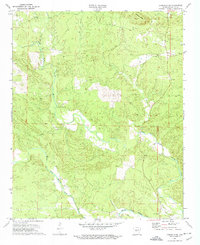
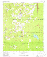
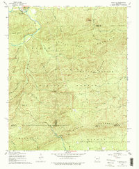
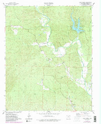
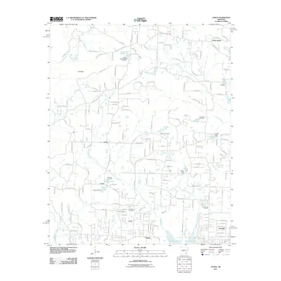
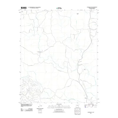
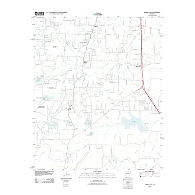
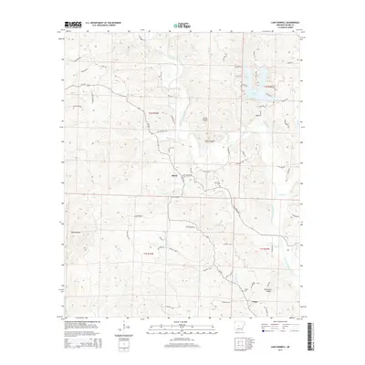
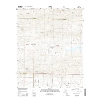
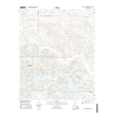
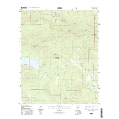
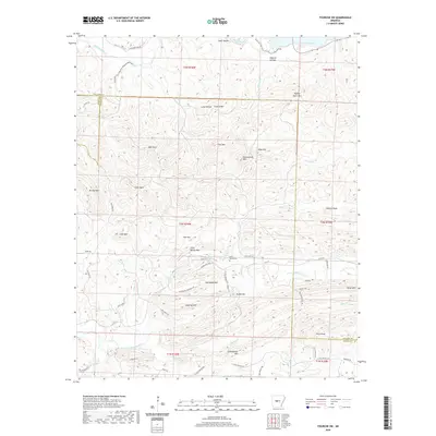
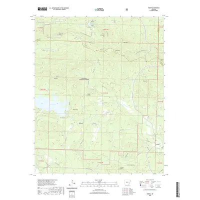
1972 Map of Lonsdale NE
USGS Topo · Published 1974About this map
Alum Fork Saline River and Middle Fork Saline River converge in this corner of Saline County, defining a landscape dominated by the winding drainage patterns of the Ouachita foothills. Recorded in the early 1970s, the area shows a rural settlement pattern where life follows the ridgelines and river valleys. Notable landmarks for genealogical research include several family and community burial sites such as Bolin Cem in the northwest and Wesleys Chapel Cem further south. The map also documents local centers of congregation like Unity Landmark Ch and Gravel Hill Ch, which anchored these upland communities. Surveyed markers like the Base Line provide a glimpse into the foundational land divisions of Arkansas, while terrain features like Prillman Ridge illustrate the natural barriers that shaped local transport and development.
Find a feature on this map
11 named features on this map. Tap any name to fly to it.
Don’t see what you’re looking for? This feature index may not catch every label — zoom into the map to look around manually.
Map Details
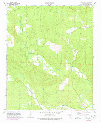
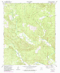
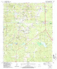
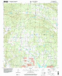
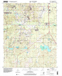
Editions of this 1972 Lonsdale NE Map
4 editions found
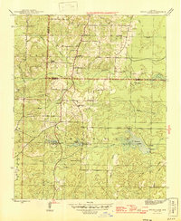
Historical Maps of Rubicon Through Time
58 maps found
1944 Spring Lake
Saline County, AR
1954 Spring Lake
Saline County, AR
1963 Fourche SW
Saline County, AR
1963 Paron
Saline County, AR
1963 Paron SW
Saline County, AR
1968 Nimrod SE
Saline County, AR
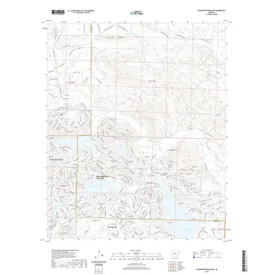
1972 Goosepond Mountain
Saline County, AR
1972 Lonsdale NE
Saline County, AR
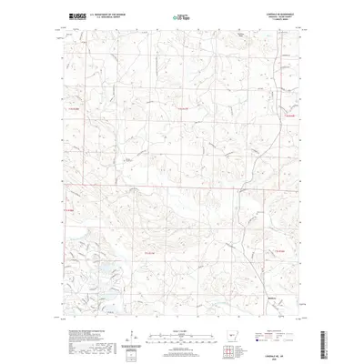
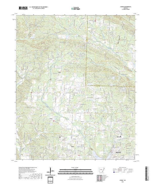
1974 Congo
Saline County, AR
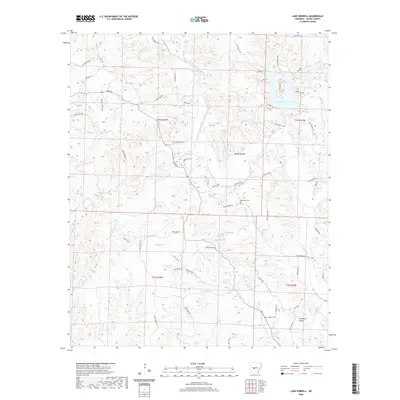
1974 Lake Norrell
Saline County, AR
1987 Spring Lake
Saline County, AR
1994 Congo
Saline County, AR
1994 Spring Lake
Saline County, AR
2011 Congo
Saline County, AR
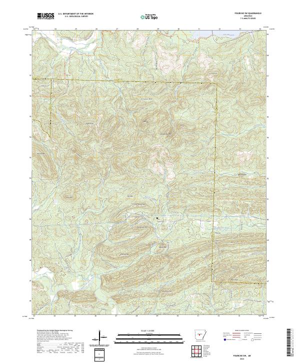
2011 Fourche SW
Saline County, AR
2011 Goosepond Mountain
Saline County, AR
2011 Lake Norrell
Saline County, AR
2011 Lonsdale NE
Saline County, AR
2011 Nimrod SE
Saline County, AR
2011 Paron
Saline County, AR
2011 Paron SW
Saline County, AR
2011 Spring Lake
Saline County, AR
2014 Congo
Saline County, AR
2014 Fourche SW
Saline County, AR
2014 Goosepond Mountain
Saline County, AR
2014 Lake Norrell
Saline County, AR
2014 Lonsdale NE
Saline County, AR
2014 Nimrod SE
Saline County, AR
2014 Paron
Saline County, AR
2014 Paron SW
Saline County, AR
2014 Spring Lake
Saline County, AR
2017 Congo
Saline County, AR
2017 Fourche SW
Saline County, AR
2017 Goosepond Mountain
Saline County, AR
2017 Lake Norrell
Saline County, AR
2017 Lonsdale NE
Saline County, AR
2017 Nimrod SE
Saline County, AR
2017 Paron
Saline County, AR
2017 Paron SW
Saline County, AR
2017 Spring Lake
Saline County, AR
2020 Congo
Saline County, AR
2020 Fourche SW
Saline County, AR
2020 Goosepond Mountain
Saline County, AR
2020 Lake Norrell
Saline County, AR
2020 Lonsdale NE
Saline County, AR

2020 Nimrod SE
Saline County, AR
2020 Paron
Saline County, AR
2020 Paron SW
Saline County, AR
2020 Spring Lake
Saline County, AR
2024 Congo
Saline County, AR
2024 Fourche SW
Saline County, AR
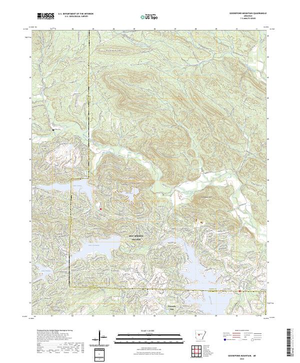
2024 Goosepond Mountain
Saline County, AR
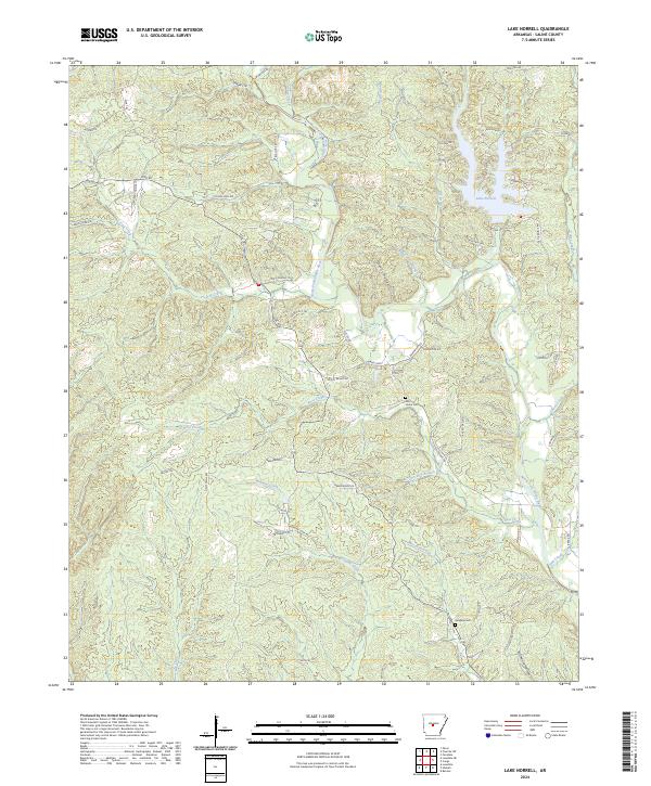
2024 Lake Norrell
Saline County, AR
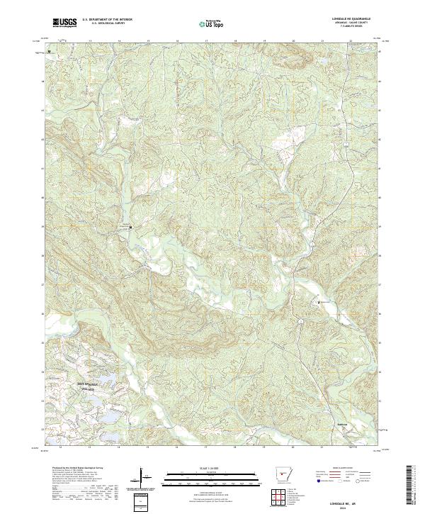
2024 Lonsdale NE
Saline County, AR
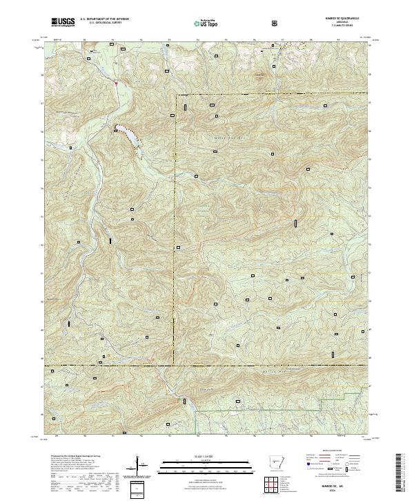
2024 Nimrod SE
Saline County, AR
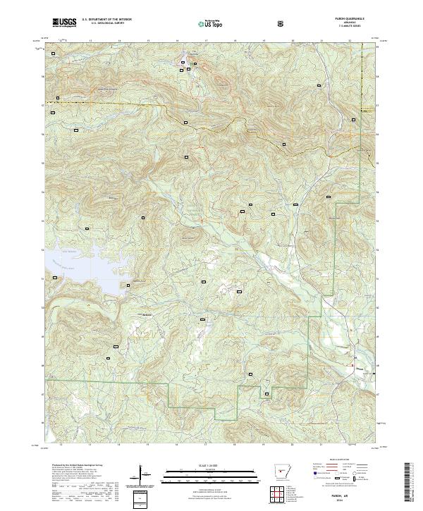
2024 Paron
Saline County, AR
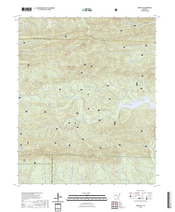
2024 Paron SW
Saline County, AR
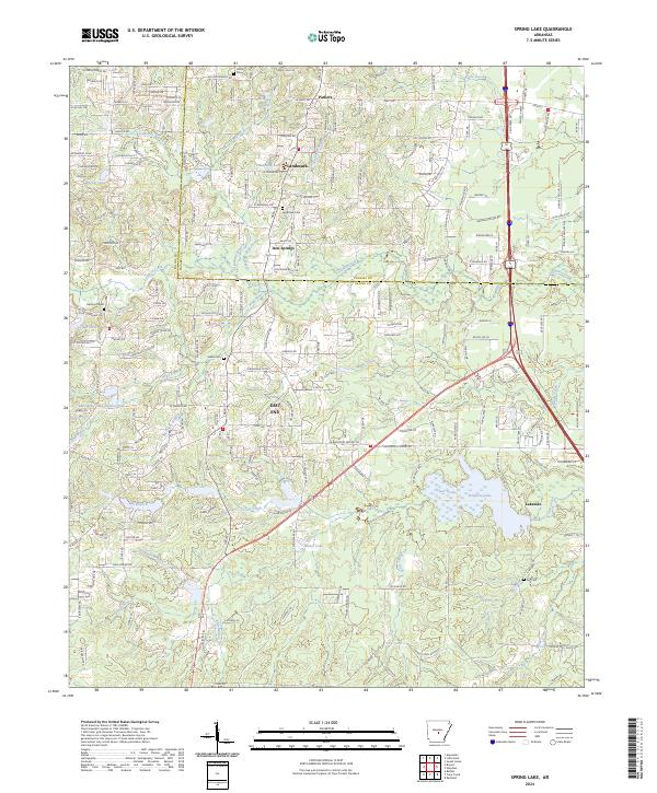
2024 Spring Lake
Saline County, AR