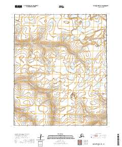
2020 Map of Lookout Ridge D-3 SW
USGS Topo · Published 2020About this map
Avalik River threads through this portion of the North Slope, revealing a landscape defined by its hydrography and the underlying public land survey system. The topography is dominated by the subtle rises of the coastal plain, with the map providing specific detail on the township and range boundaries including t6n r24w, t6n r23w, t5n r24w, and t5n r23w. These surveying lines intersect with the meandering watercourse, illustrating how modern cartography delineates vast, uninhabited stretches of Northern Alaska. The 2020 data highlights the precise location of the river's bends and seasonal wetland features, offering a foundational look at the region's geography before further environmental changes or shifts in land management occur.
Find a feature on this map
5 named features on this map. Tap any name to fly to it.
Don’t see what you’re looking for? This feature index may not catch every label — zoom into the map to look around manually.
Map Details
Editions of this 2020 Lookout Ridge D-3 SW Map
This is the sole edition of this map. No revisions or reprints were ever made.
Other maps of this area

1951 · Lookout Ridge
USGS Topo · 1:250,000

1956 · Lookout Ridge
USGS Topo · 1:250,000
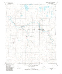
1984 · Lookout Ridge D-4
USGS Topo · 1:63,360

1984 · Lookout Ridge D-3
USGS Topo · 1:63,360
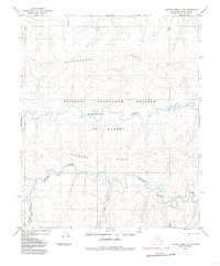
1984 · Lookout Ridge C-4
USGS Topo · 1:63,360
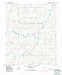
1985 · Lookout Ridge C-3
USGS Topo · 1:63,360
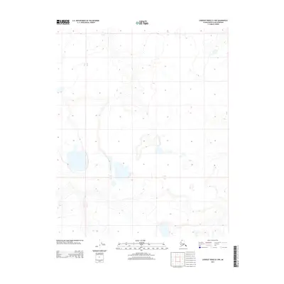
2013 · Lookout Ridge D-3 NW
USGS Topo · 1:25,000
2013 · Lookout Ridge D-3 NE
USGS Topo · 1:25,000
2013 · Lookout Ridge D-3 SE
USGS Topo · 1:25,000
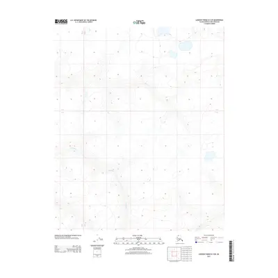
2013 · Lookout Ridge D-3 SW
USGS Topo · 1:25,000