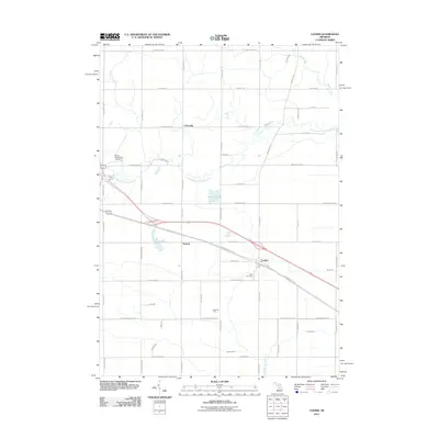
2011 Map of Loomis
USGS Topo · Published 2011About this map
The settlement of Loomis sits at a historic crossroads in Clare County, defined by the diagonal path of the Pere Marquette Rail Trl and the adjacent Pere Marquette Rd. This corridor reflects a transition from early rail-based logistics to modern recreation and local transit, connecting the community to nearby Herrick and Colonville to the northwest. The landscape is heavily marked by a network of drainage and watercourses, including the South Branch Tobacco River and the North Branch Salt River, which carve through the grid of rural township roads. To the south, the Wise Oil Field indicates the region's industrial ties to natural resource extraction, while Wise Cemetery provides a focal point for genealogical research. The northwestern corner is anchored by the Clare Municipal Airport, showing the expansion of transportation infrastructure beyond the traditional rail and road networks that originally established these towns.
Find a feature on this map
54 named features on this map. Tap any name to fly to it.
Don’t see what you’re looking for? This feature index may not catch every label — zoom into the map to look around manually.
Map Details
Editions of this 2011 Loomis Map
This is the sole edition of this map. No revisions or reprints were ever made.
Other maps of this area

1916 · Mount Pleasant
USGS Topo · 1:62,500

1919 · Mount Pleasant
USGS Topo · 1:62,500

1930 · Shepherd
USGS Topo · 1:48,000

1936 · Shepherd
USGS Topo · 1:62,500

1943 · Mount Pleasant
USGS Topo · 1:62,500

1954 · Midland
USGS Topo · 1:250,000

1958 · Midland
USGS Topo · 1:250,000

1959 · Midland
USGS Topo · 1:250,000

1959 · Clare
USGS Topo · 1:62,500

1966 · Midland
USGS Topo · 1:250,000