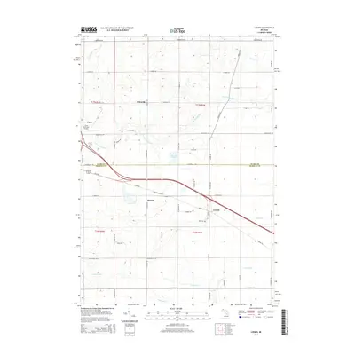
2014 Map of Loomis
USGS Topo · Published 2014About this map
The S Br Tobacco River and its numerous tributaries, such as McCurran Cr and Carrow Cr, define the drainage patterns of this central Michigan landscape. Settled clusters at Colonville, Herrick, and Loomis sit along a corridor shaped by the Pere Marquette Rd and Saginaw Rd, reflecting the historical influence of the region's transportation network. To the west, the Clare Municipal Airport and the outskirts of Clare mark the transition toward more developed municipal centers.
Find a feature on this map
56 named features on this map. Tap any name to fly to it.
Don’t see what you’re looking for? This feature index may not catch every label — zoom into the map to look around manually.
Map Details
Editions of this 2014 Loomis Map
This is the sole edition of this map. No revisions or reprints were ever made.
Other maps of this area

1916 · Mount Pleasant
USGS Topo · 1:62,500

1919 · Mount Pleasant
USGS Topo · 1:62,500

1930 · Shepherd
USGS Topo · 1:48,000

1936 · Shepherd
USGS Topo · 1:62,500

1943 · Mount Pleasant
USGS Topo · 1:62,500

1954 · Midland
USGS Topo · 1:250,000

1958 · Midland
USGS Topo · 1:250,000

1959 · Midland
USGS Topo · 1:250,000

1959 · Clare
USGS Topo · 1:62,500

1966 · Midland
USGS Topo · 1:250,000